
TÜRKİYE ARCHIVE · GEOGRAPHIC CONTEXT
Sivas
The markers show geolocated archive records. No estimated coordinates have been assigned to new images whose camera locations are unknown.Search the recorded place name on the map ↗
Loading records…
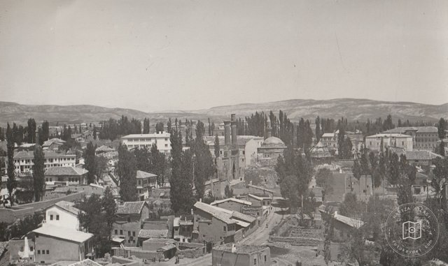 Date unknown
Sivas
39.7504, 37.0145
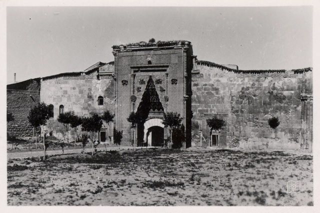 Date unknown
Buruciye Medresesi, Sivas
39.7504, 37.0145
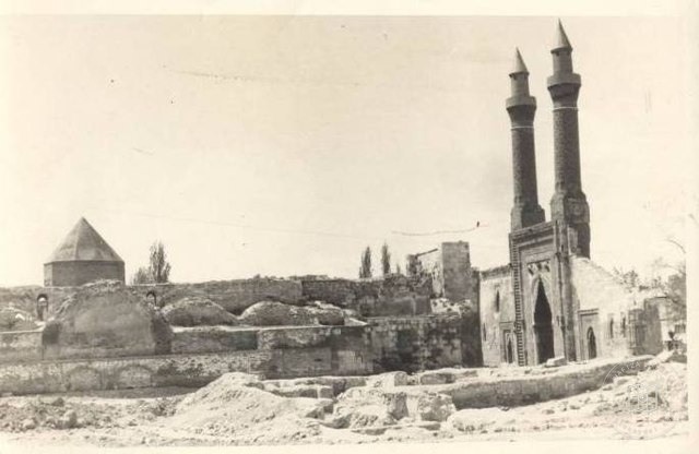 Date unknown
Sivas Double Minareli Medrese
39.7504, 37.0145
 1908
Sivas, Banquet Brain Library / 1908
39.7504, 37.0145
 1935
Sivas Train Station / 6 September 1935
39.7504, 37.0145
 Date unknown
Old Sivas
39.7504, 37.0145
 Date unknown
Old Sivas
39.7504, 37.0145
 1968
Sivas / 1968
39.7504, 37.0145
 1935
Sivas Sample Hospital / 1935
39.7504, 37.0145
 Date unknown
Primary School of Sansaryan Foundation, Sivas
39.7504, 37.0145
 1950–1959
Sivas Gökmedrese in 1950s
39.7504, 37.0145
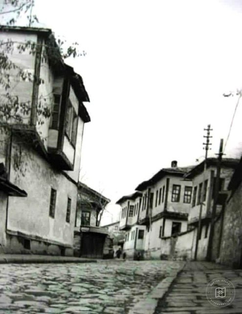 1970–1979
Sivas / 1970's
39.7504, 37.0145
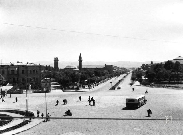 1960–1969
Sivas 1960s
39.7504, 37.0145
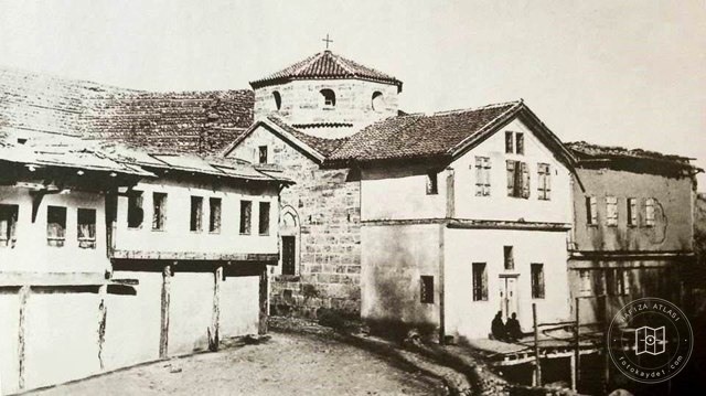 Date unknown
Sivas Surp Shooter Monastery
39.7504, 37.0145
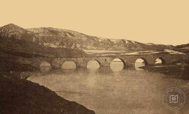 1900–1909
Sivas Section / 1900′s
39.7504, 37.0145
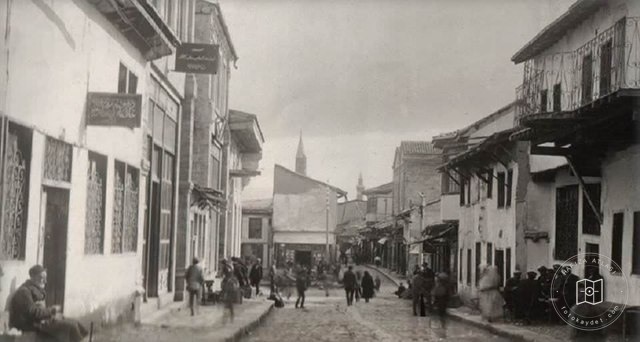 1920–1929
Sivas Nalbantbaşı / 1920′s
39.7504, 37.0145
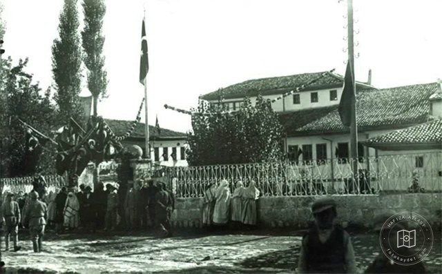 1930–1939
Sivas PTT building / 1930s
39.7504, 37.0145
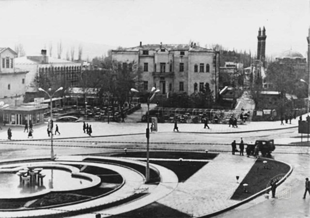 1950–1959
Sivas / 1950s
39.7504, 37.0145
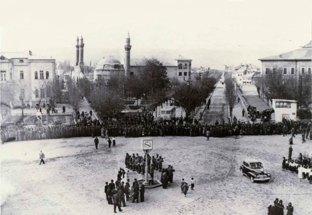 1930–1939
Sivas / 1930s
39.7504, 37.0145
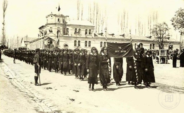 1934
Sivas / 23 April 1934
39.7504, 37.0145
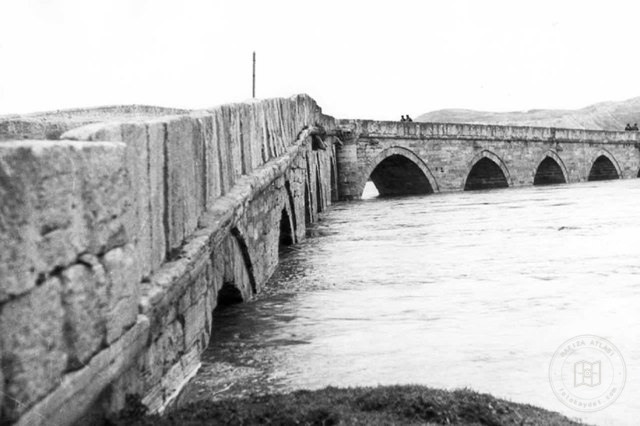 1936
Sivas Curve Bridge / 1936
39.7504, 37.0145
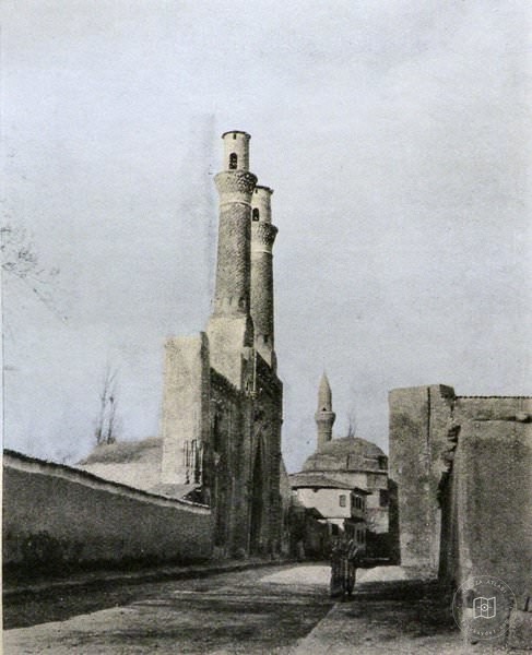 1917
Sivas/Sepasdia: Gök medrese (Source: W.J. Childs, Across Asia Minor on Foot, Edinburgh/London, 1917)
39.7504, 37.0145
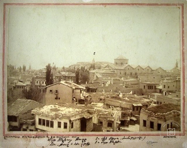 Date unknown
The Armenian Apostolic Cathedral of the Holy Mother of God and the Armenian quarter in the town of Sivas/Sepasdia (Source: Nubarian Library collection)
39.7504, 37.0145
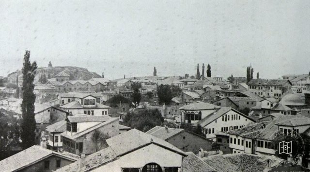 1906
A panoramic view of the town of Sivas/Sepasdia (Source: Franz Cumont/Eugène Cumont, Studia Pontica, II, Voyage d'exploration archéologique dance le Pont et la Petite Arménie, Bruxelles, 1906)
39.7504, 37.0145