
TÜRKİYE ARCHIVE · GEOGRAPHIC CONTEXT
Manisa
The markers show geolocated archive records. No estimated coordinates have been assigned to new images whose camera locations are unknown.Search the recorded place name on the map ↗
Loading records…
 1890–1899
Gediz River - Manisa Nears / Sébah and Joaillier Photo / 1890s
38.6126, 27.4334
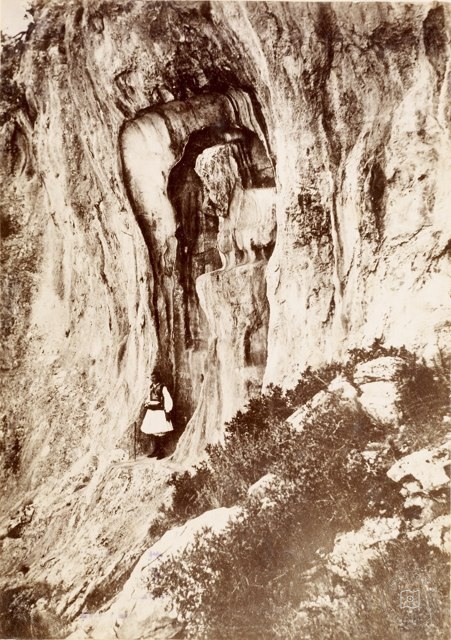 Date unknown
Niobe - Crying Rock / Manisa / Alex Svobodo Photo / 19th Century
38.6126, 27.4334
 1875
Salihli Old Cemetery 1875
38.6126, 27.4334
 1875
Ahmetli Railway Bridge 1875
38.6126, 27.4334
 1875
Ahmetli Station Passenger Hall , Manisa/1875
38.6126, 27.4334
 1875
Station, Manisa/1875
38.6126, 27.4334
 1960
Artemis Temple, Sardes / 1960 / Salihli - Manisa
38.6126, 27.4334
 Date unknown
Ancient City of Sardis
38.6126, 27.4334
 Date unknown
Manisa Government Cons
38.6126, 27.4334
 1958
Manisa Mesir Festival / 1958
38.6126, 27.4334
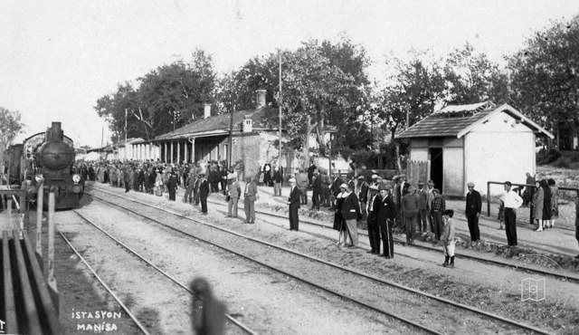 1920–1929
1920′lerde Manisa Tren Station
38.6126, 27.4334
 1950–1959
Old Turgutlu - Manisa / 1950
38.6126, 27.4334
 1900–1909
Sultan Selim Mosque, Manisa/1900′s
38.6126, 27.4334
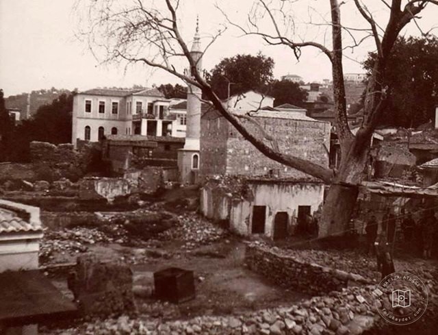 Date unknown
Manisa
38.6126, 27.4334
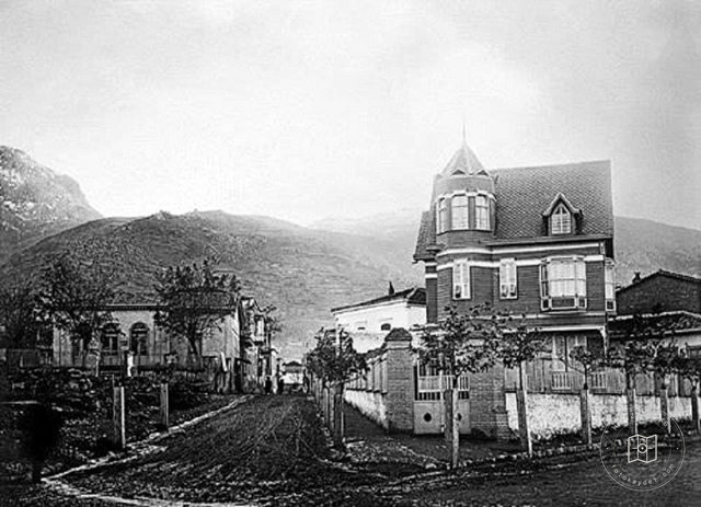 Date unknown
Manisa
38.6126, 27.4334
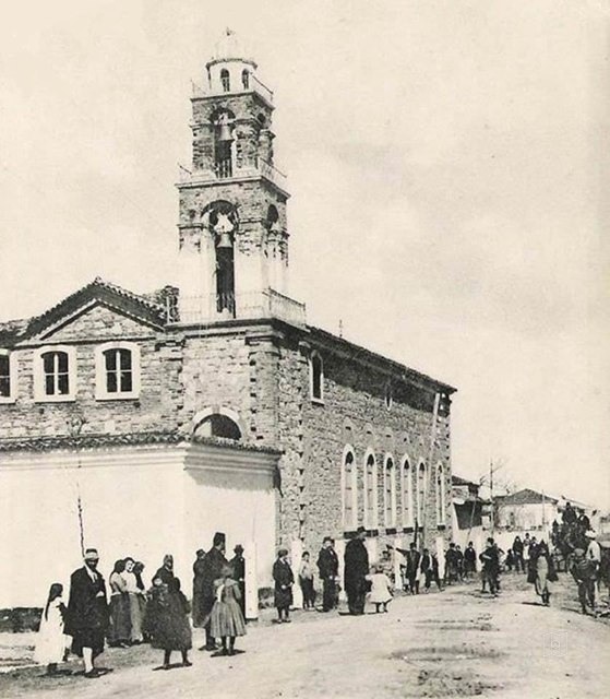 1920
Manisa St. Jean Rum Orthodox Church / 1920
38.6126, 27.4334
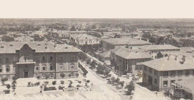 Date unknown
Manisa
38.6126, 27.4334
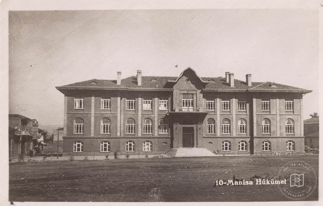 Date unknown
Manisa Government Cons
38.6126, 27.4334