
TÜRKİYE ARCHIVE · GEOGRAPHIC CONTEXT
Konya
The markers show geolocated archive records. No estimated coordinates have been assigned to new images whose camera locations are unknown.Search the recorded place name on the map ↗
Loading records…
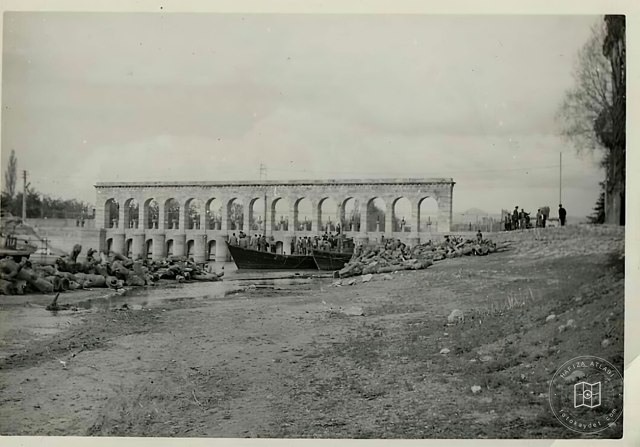 Date unknown
Beyşehir Bridge
37.8727, 32.4924
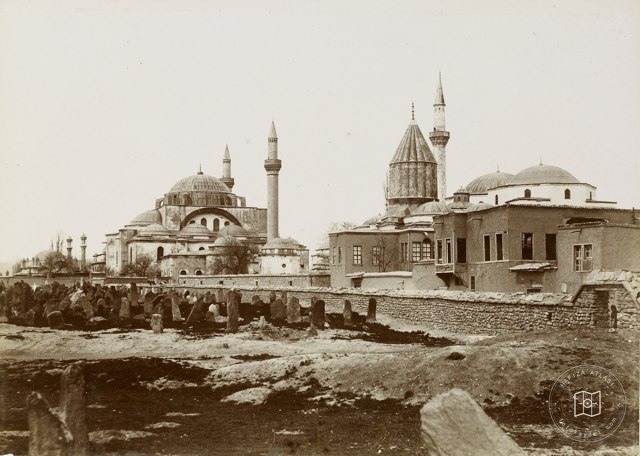 Date unknown
Konya Mevlana Tomb and Environment
37.8727, 32.4924
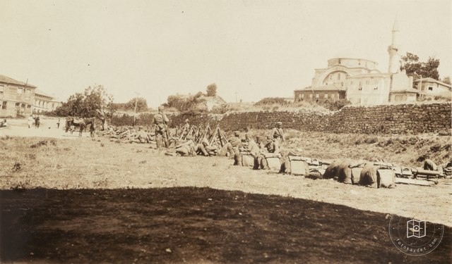 1920–1929
Listened Soldiers, Konya (?) Poles / 1920s
37.8727, 32.4924
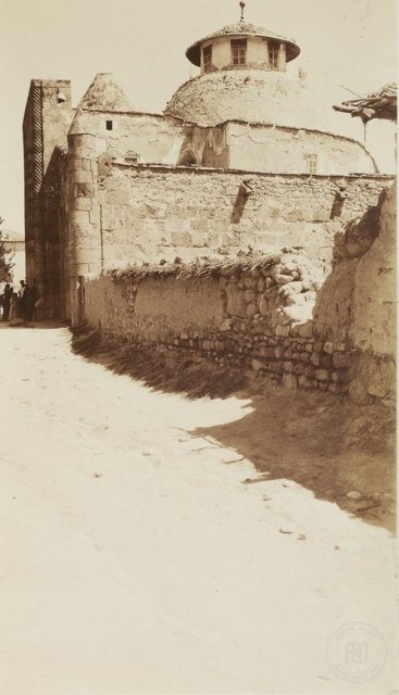 1920–1929
Konya / 1920 walls
37.8727, 32.4924
 Date unknown
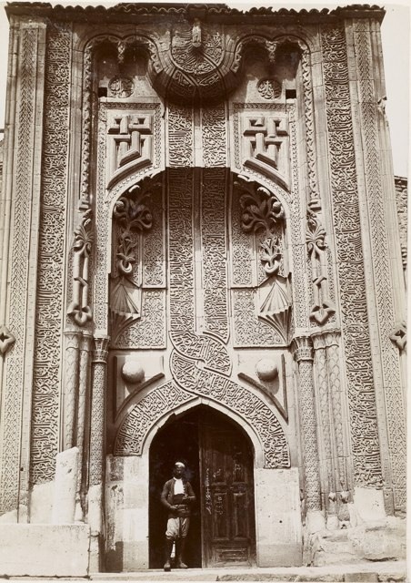
Thin Minare Input , Konya
37.8727, 32.4924
 Date unknown
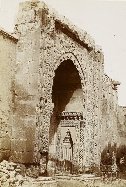
Glazed Medrese Input , Konya / 19th Century
37.8727, 32.4924
 Date unknown
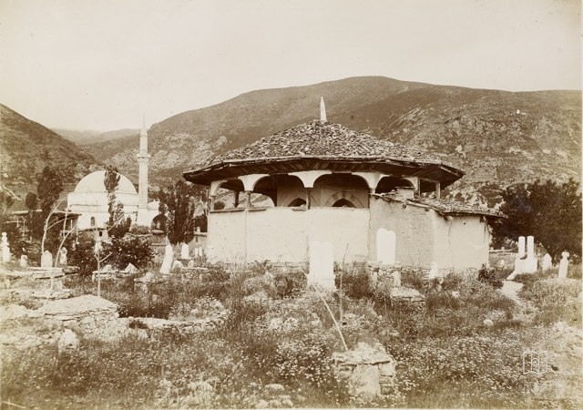
Nasrettin Hoca Tomb / 19th Century in Akşehir
37.8727, 32.4924
 1885–1910
Alaaddin Mosque Minberi / 1885-1910 Break
37.8727, 32.4924
 Date unknown
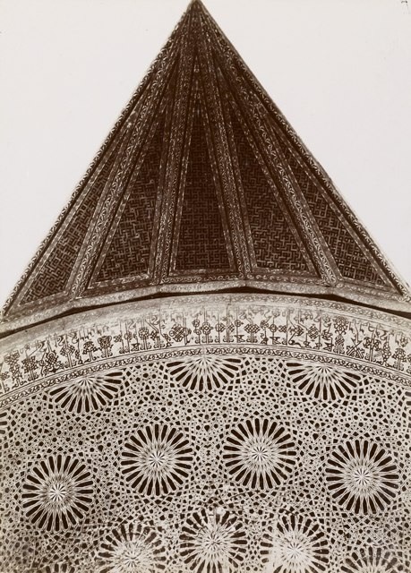
Karatay Medresesi Kubbesi, Konya
37.8727, 32.4924
 1870–1879
Konya Glazed Medrese / 1870s / G. Berggren Photo
37.8727, 32.4924
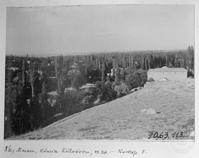 1914
Appearance from Meram, Konya / 1914
37.8727, 32.4924
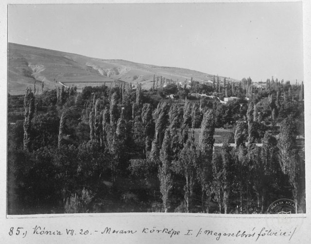 1914
Meram Vineyards , Konya / 1914
37.8727, 32.4924
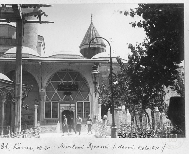 1914
Tomb, Konya / 1914
37.8727, 32.4924
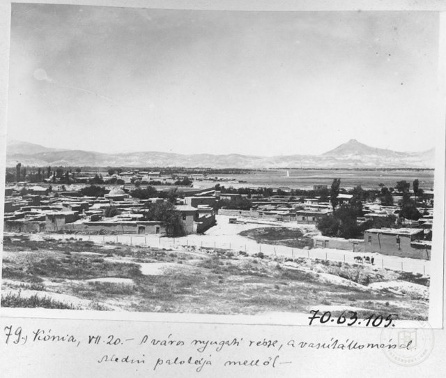 1914
Konya South View from Alaaddin Tepesi / 1914
37.8727, 32.4924
 1914
Alaaddin Mosque North Walls , Konya / 1914
37.8727, 32.4924
 1914
Mosque, Konya / 1914
37.8727, 32.4924
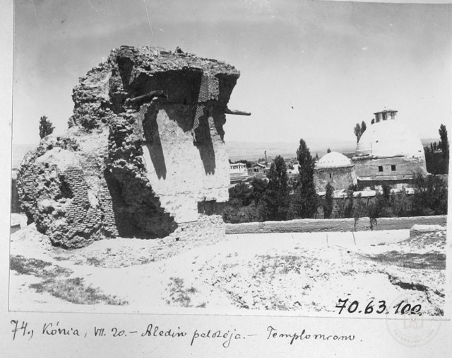 1914
Alaaddin Kiosk and Karatay Medresesi, Konya / 1914
37.8727, 32.4924
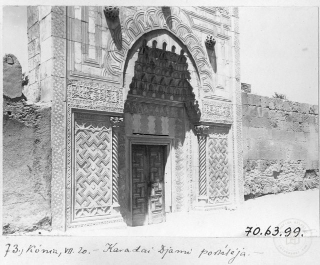 1914
Karatay Medresesi Crown Gate , Konya / 1914
37.8727, 32.4924
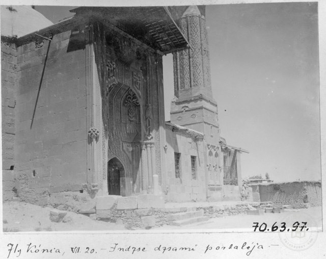 1914
Fine Minareli Medrese Input , Konya / 1914
37.8727, 32.4924
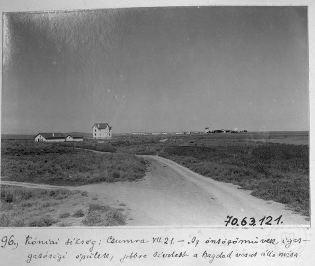 1914
Konya Plain , Çumra / 1914
37.8727, 32.4924
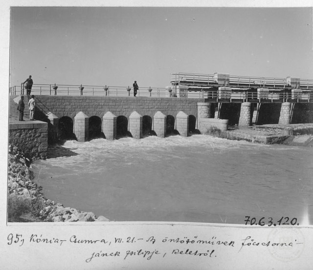 1914
Çumra Irrigation Channels Covers / Konya / 1914
37.8727, 32.4924
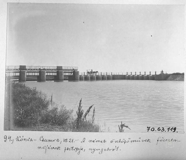 1914
Çumra Irrigation Channels Covers / Konya / 1914
37.8727, 32.4924
 Date unknown
From Alaaddin Hill, Konya
37.8727, 32.4924
 1920–1929
Konya Glazed Medrese Input / 1920s
37.8727, 32.4924