
HISTORIC PHOTOGRAPH COLLECTIONS
Eminönü and Sirkeci
Historic photographs of Istanbul, from its neighbourhoods and daily life to schools and waterfronts.Photographs are grouped at their city or area centre. Purple markers indicate approximate locations.
Search the recorded place name on the map ↗
Approximate locations · loading photographs.
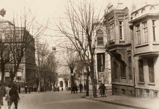 Date unknown
Ankara Avenue from Cağaloğlu to Sirkeci
41.0182, 28.9700
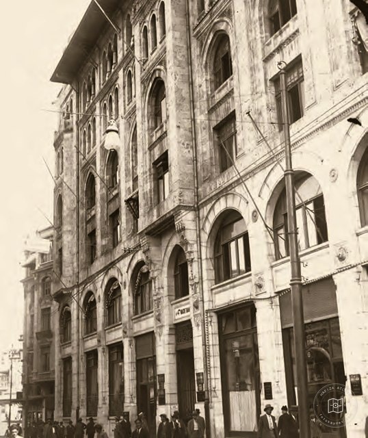 Date unknown
Facade of the Fourth Vakıf Han
41.0182, 28.9700
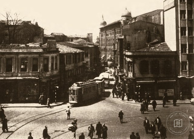 Date unknown
Sirkeci Square and the Fourth Vakıf Han
41.0182, 28.9700
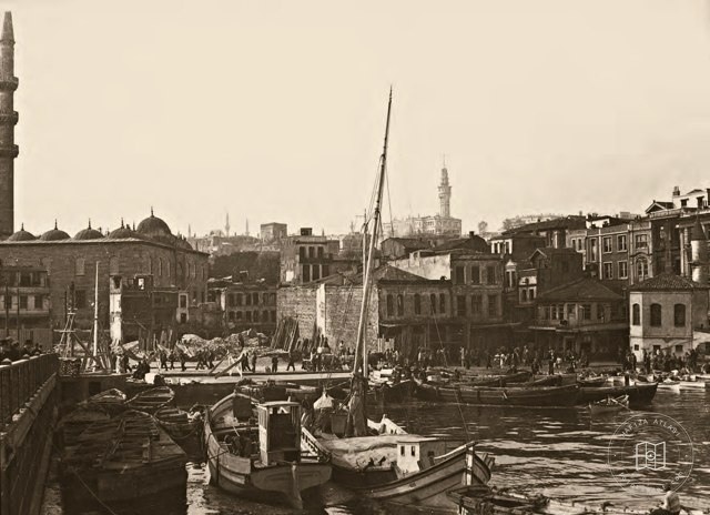 Date unknown
Eminönü Square before expansion
41.0182, 28.9700
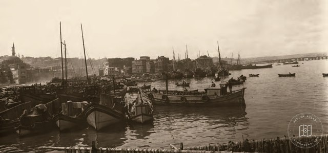 Date unknown
Area between Eminönü and Unkapanı
41.0182, 28.9700
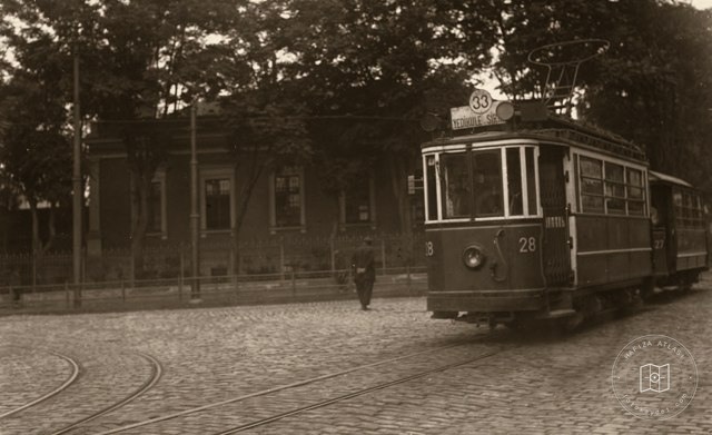 Date unknown
Yedikule–Sirkeci tram number 33
41.0182, 28.9700
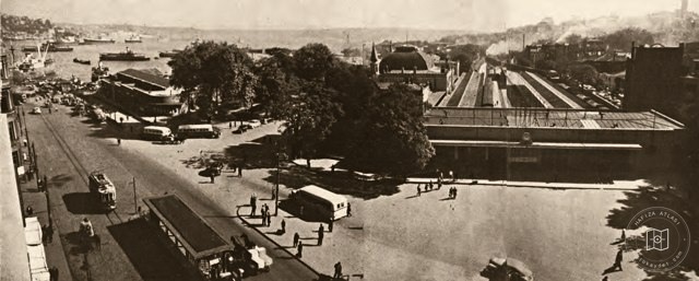 Date unknown
Sirkeci Station Square
41.0182, 28.9700
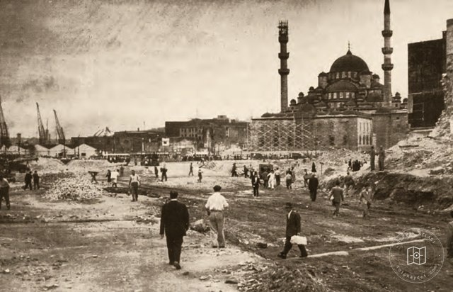 Date unknown
Eminönü–Unkapanı road after demolition of the Fish Market
41.0182, 28.9700
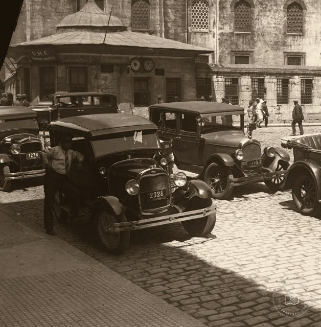 Date unknown
Traffic and clocks outside the New Mosque
41.0169, 28.9721
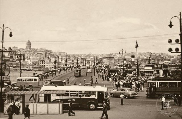 1957–1959
Galata Bridge and Karaköy from Eminönü
41.0182, 28.9700
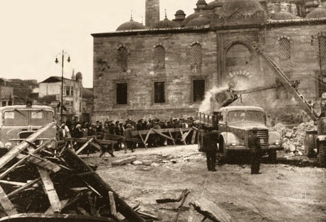 Date unknown
Demolitions around the New Mosque in Eminönü
41.0182, 28.9700
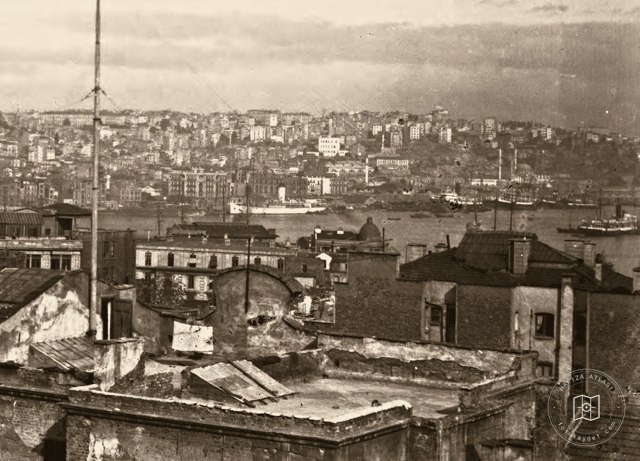 Date unknown
Galata from Eminönü
41.0182, 28.9700
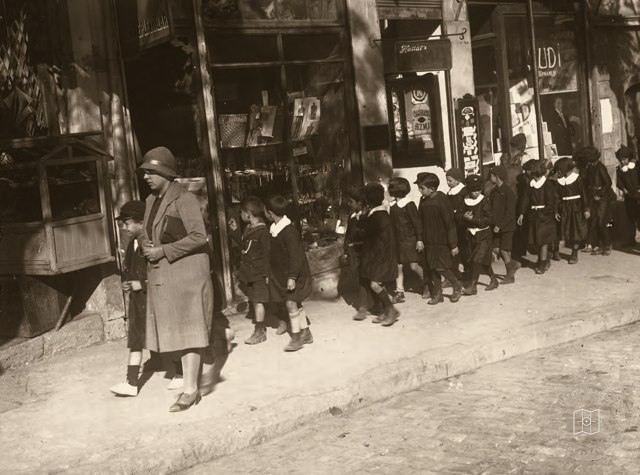 Date unknown
Primary school pupils marching in Eminönü
41.0182, 28.9700
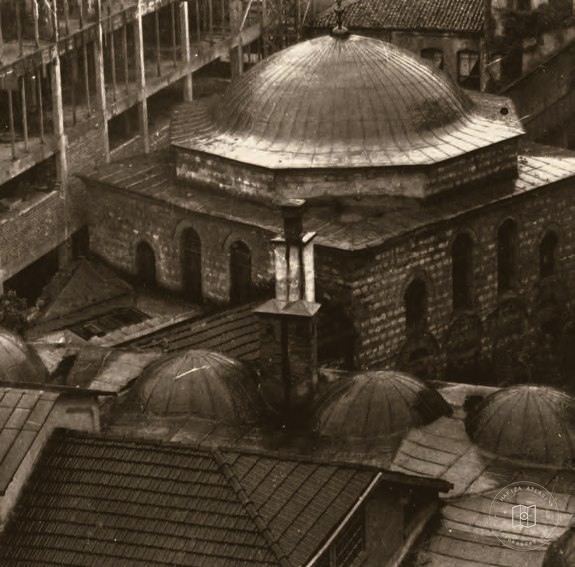 Date unknown
Hamidiye Madrasa
41.0182, 28.9700
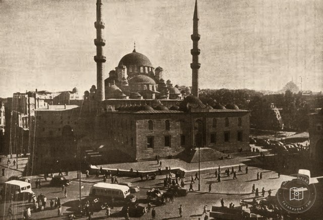 Date unknown
New Mosque Square in Eminönü
41.0182, 28.9700
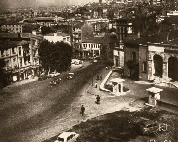 Date unknown
Expansion of the square outside the Governor's Office
41.0119, 28.9761
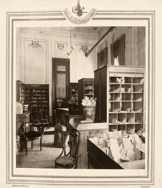 Date unknown
Interior of Istanbul Post Office
41.0144, 28.9739
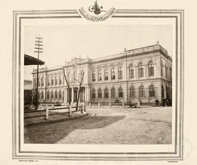 Date unknown
Istanbul Post Office
41.0144, 28.9739
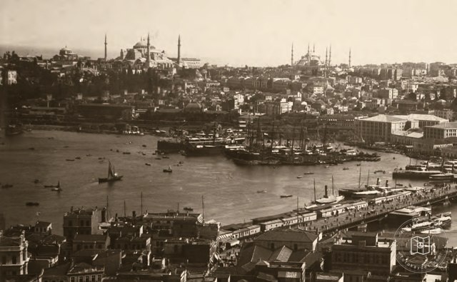 Date unknown
Eminönü Pier
41.0182, 28.9700
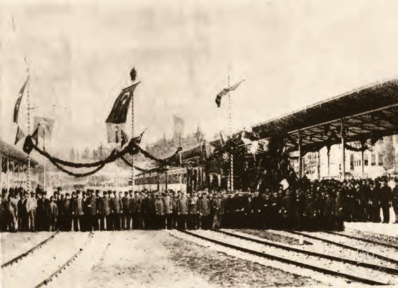 Date unknown
Opening of Sirkeci Railway Station
41.0182, 28.9700
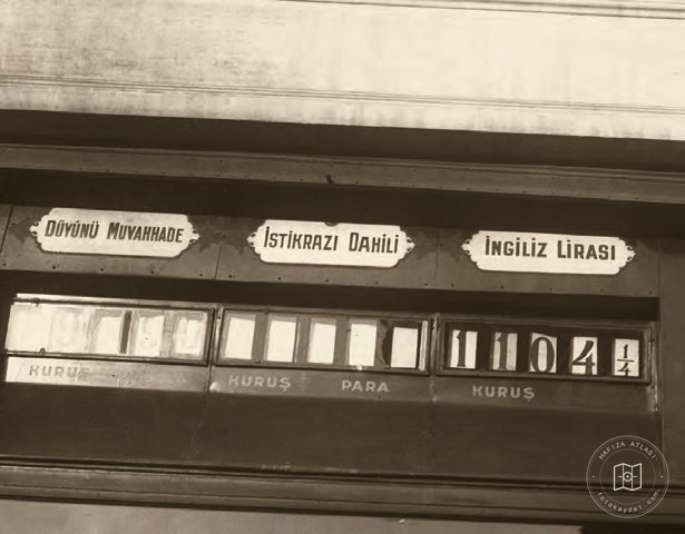 Catalogue date · 1928
Exchange boards at the Fourth Vakıf Han
41.0182, 28.9700
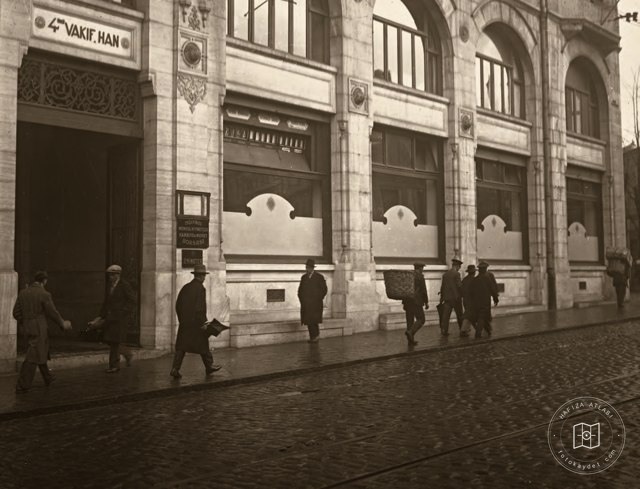 Catalogue date · 1931
Fourth Vakıf Han
41.0182, 28.9700
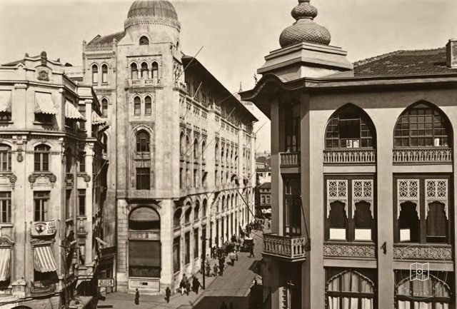 Date unknown
The Fourth Vakıf Han
41.0182, 28.9700
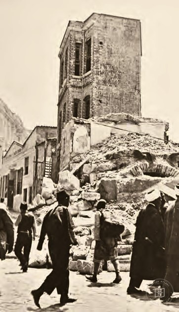 Date unknown
A completely destroyed primary school in Sultanhamam
41.0182, 28.9700