
HISTORIC PHOTOGRAPH COLLECTIONS
Bosphorus Shores
Historical photographs tracing Istanbul’s changing urban fabric, from districts and daily life to schools and waterfronts.Photographs are grouped at their city or area centre. Purple markers indicate approximate locations.
Search the recorded place name on the map ↗
Approximate locations · loading photographs.
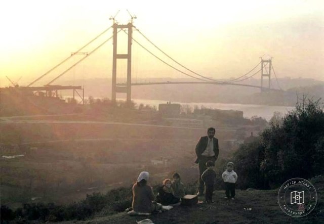 Catalogue date · 1972
Construction of the Bosphorus Bridge at Beylerbeyi, 1972
41.0064, 28.9759
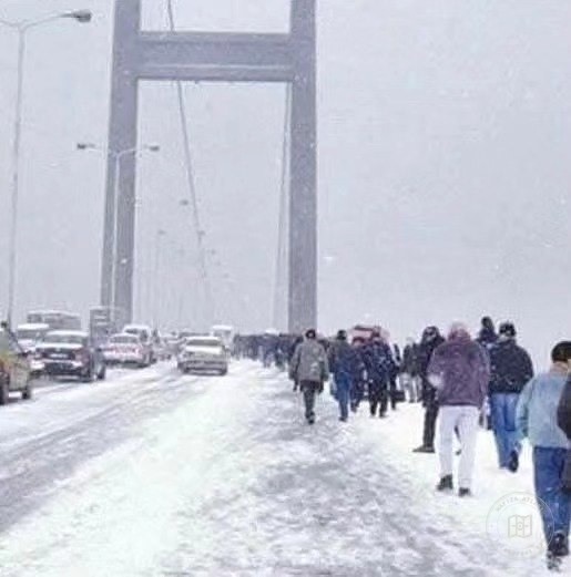 Catalogue date · 2004
People walking across the Bosphorus Bridge in the snow, 2004
41.0064, 28.9759
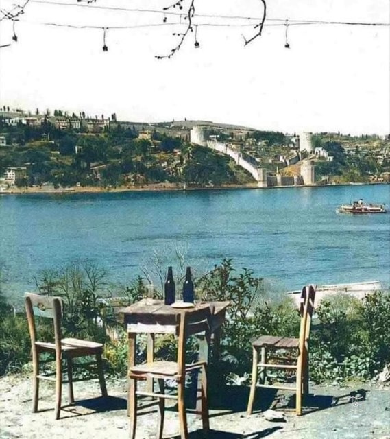 Catalogue date · 1958
The Bosphorus and Rumeli Fortress from Sevda Hill, 1958
41.0064, 28.9759
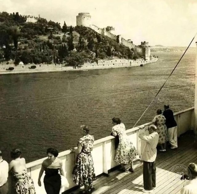 Catalogue date · 1950–1959
The Bosphorus, 1950s
41.0064, 28.9759
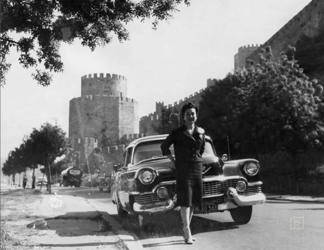 Catalogue date · 1962
Rumeli Fortress, 1962
41.0064, 28.9759
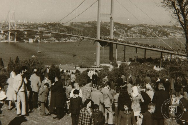 Catalogue date · 1973
The opening of the Bosphorus Bridge, 1973
41.0064, 28.9759
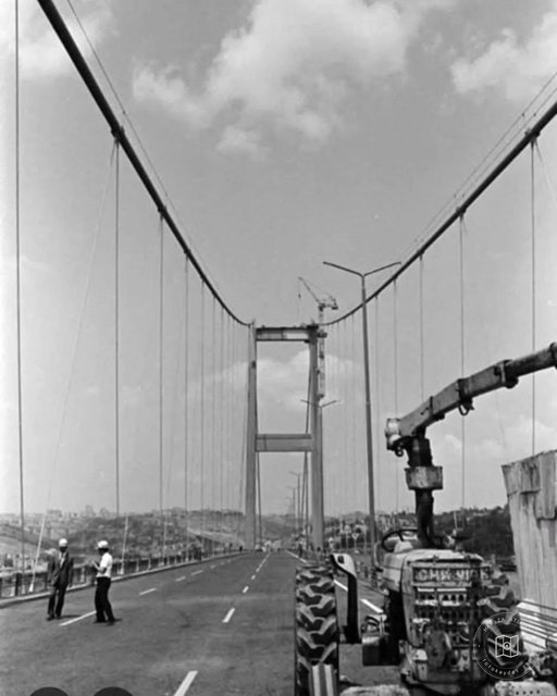 Catalogue date · 1972–1973
Construction of the Bosphorus Bridge, 1972–1973
41.0064, 28.9759
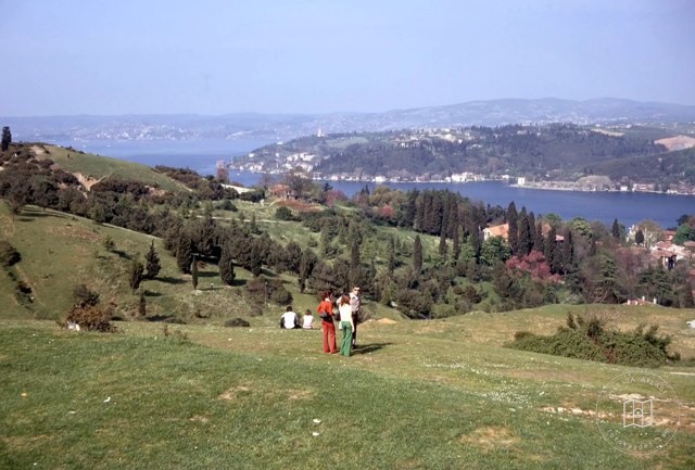 Catalogue date · 1973
The Bosphorus and Kanlıca from above Rumeli Fortress, 1973
41.0064, 28.9759
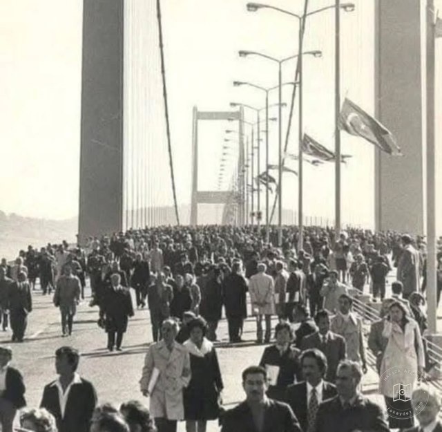 Catalogue date · 1973
The opening of the Bosphorus Bridge, 1973
41.0064, 28.9759
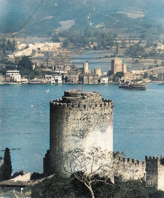 Catalogue date · 1930–1939
Rumeli Fortress and Anadolu Fortress, 1930s
41.0064, 28.9759
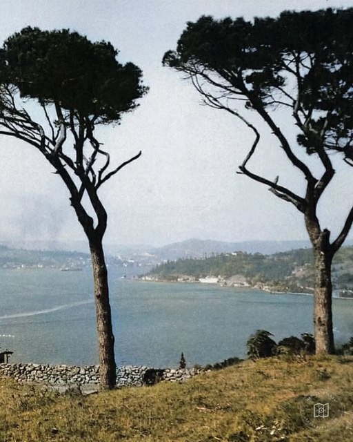 Catalogue date · 1950–1959
Rumeli Fortress from Sevda Hill in Kandilli, 1950s
41.0064, 28.9759
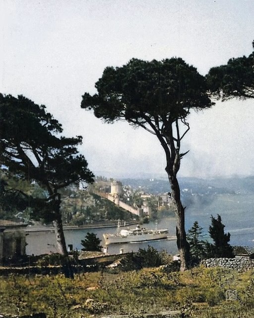 Catalogue date · 1950–1959
Rumeli Fortress from Sevda Hill in Kandilli, 1950s
41.0064, 28.9759
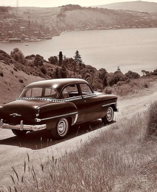 Catalogue date · 1960–1969
Istanbul from the hills above Rumeli Fortress, 1960s
41.0064, 28.9759
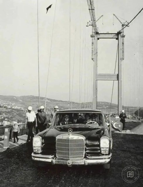 Catalogue date · 1973
Fahri Korutürk inspecting construction of the Bosphorus Bridge, 1973
41.0064, 28.9759
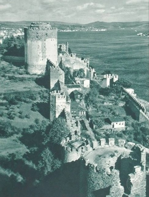 Catalogue date · 1942
Rumeli Fortress, 1942
41.0064, 28.9759
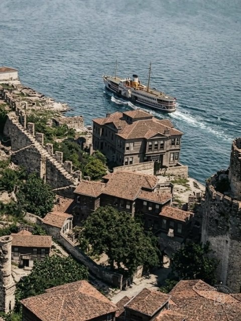 Catalogue date · 1962
The Bosphorus from the towers of Rumeli Fortress, 1962
41.0064, 28.9759
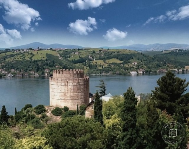 Catalogue date · 1972
Istanbul from the terrace of Robert College, 1972
41.0064, 28.9759
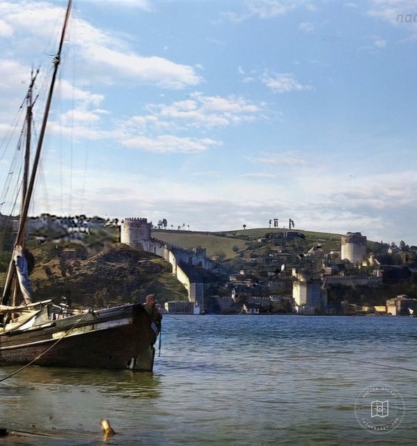 Catalogue date · 1907
Rumeli Fortress and the Bosphorus, 1907
41.0064, 28.9759
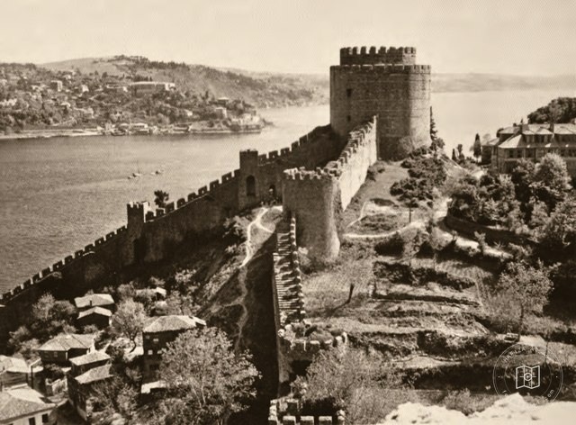 Date unknown
Rumelihisarı before restoration
41.0849, 29.0567
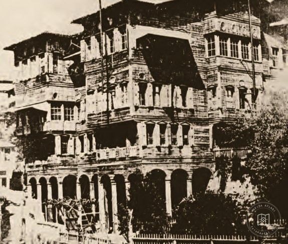 Catalogue date · 1858
Yorgaki Çelebi House in Bebek
41.0790, 29.0440
 Date unknown
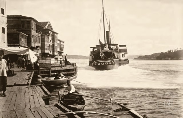
Passenger ferry leaving a Bosphorus pier
41.0849, 29.0567
 Date unknown
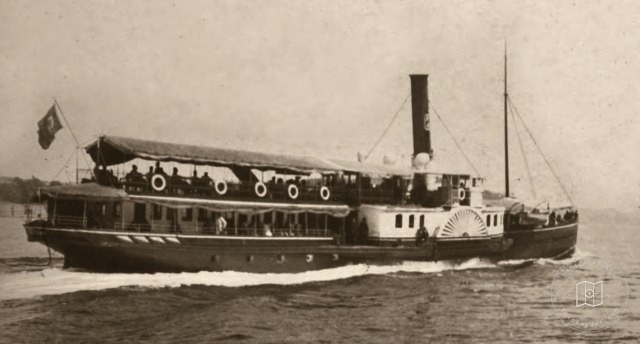
A ferry on the Bosphorus
41.0849, 29.0567
 Date unknown
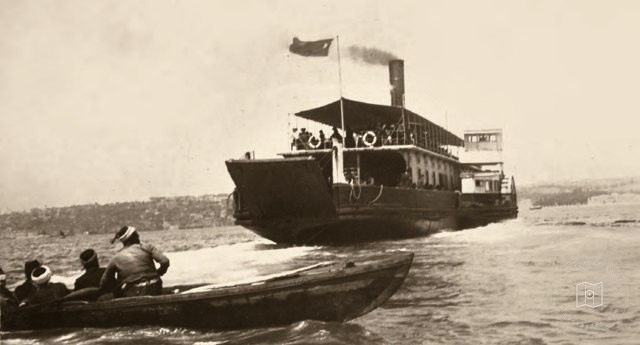
Car ferry on the Bosphorus
41.0849, 29.0567
 Date unknown
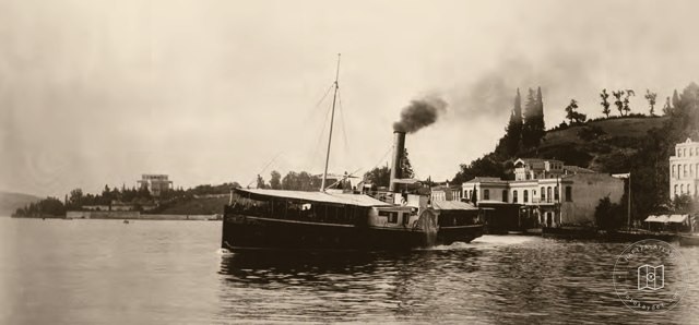
Paddle steamer on the Bosphorus
41.0849, 29.0567