
HISTORIC PHOTOGRAPH COLLECTIONS
Beyoğlu and Taksim
Historic photographs of Istanbul, from its neighbourhoods and daily life to schools and waterfronts.Photographs are grouped at their city or area centre. Purple markers indicate approximate locations.
Search the recorded place name on the map ↗
Approximate locations · loading photographs.
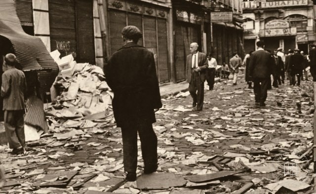 Catalogue date · 1955
Destruction in Beyoğlu during the September 6–7 events
41.0284, 28.9737
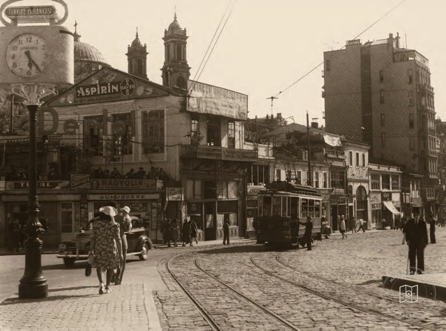 Date unknown
Tram turning from İstiklal Avenue toward Taksim
41.0284, 28.9737
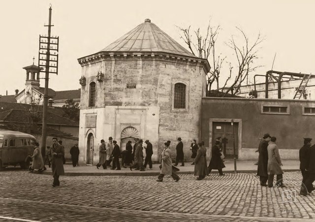 Date unknown
Taksim Water Distribution Building
41.0381, 28.9855
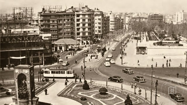 1940–1949
Taksim Square and Gezi Park
41.0381, 28.9855
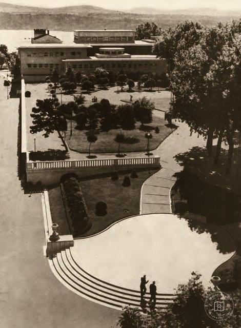 1947–1949
Taksim Garden and Municipal Entertainment Venue
41.0381, 28.9855
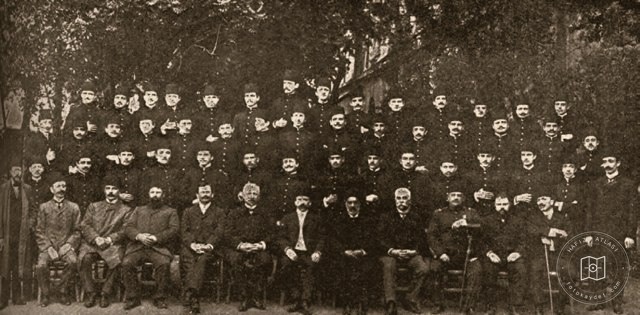 Date unknown
Teachers and students of the Imperial High School
41.0284, 28.9737
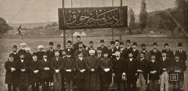 Date unknown
Teachers at the Imperial High School
41.0284, 28.9737
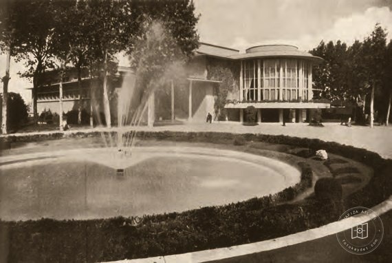 Date unknown
Taksim entertainment venue
41.0381, 28.9855
 Date unknown
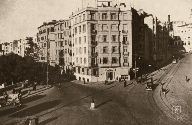
Şişhane Square
41.0284, 28.9737
 Date unknown
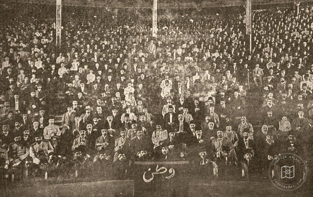
Vatan performed at Tepebaşı Theater
41.0284, 28.9737
 Date unknown
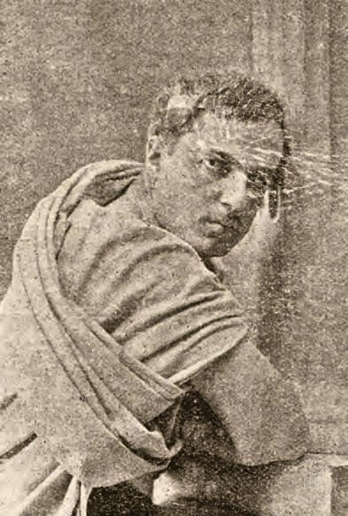
Burhaneddin Bey on stage
41.0284, 28.9737
 Date unknown
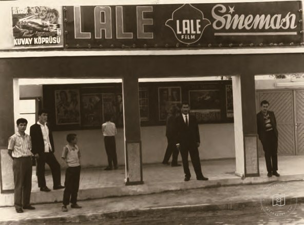
Entrance to Lale Cinema
41.0284, 28.9737
 Date unknown
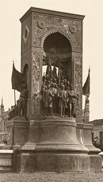
Republic Monument in Taksim
41.0381, 28.9855
 Catalogue date · 1851
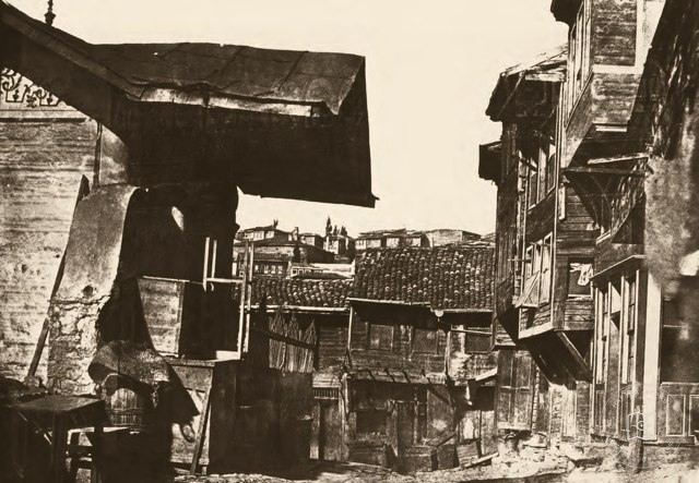
A street in Beyoğlu
41.0284, 28.9737
 Catalogue date · 1930
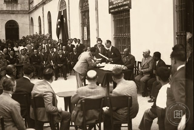
Domestic goods exhibition at Galatasaray High School
41.0284, 28.9737
 Date unknown
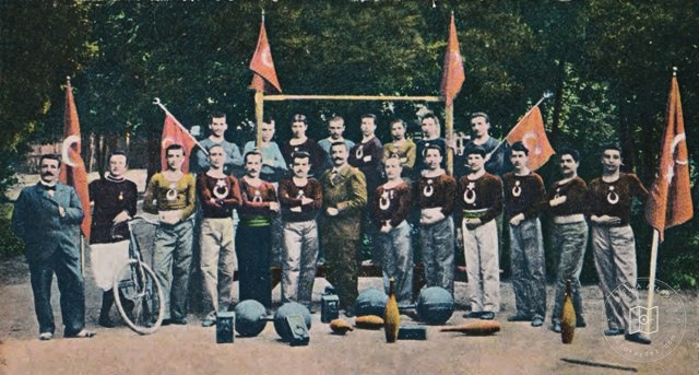
Physical education teacher Faik Bey with his Galatasaray High School students
41.0284, 28.9737
 Date unknown
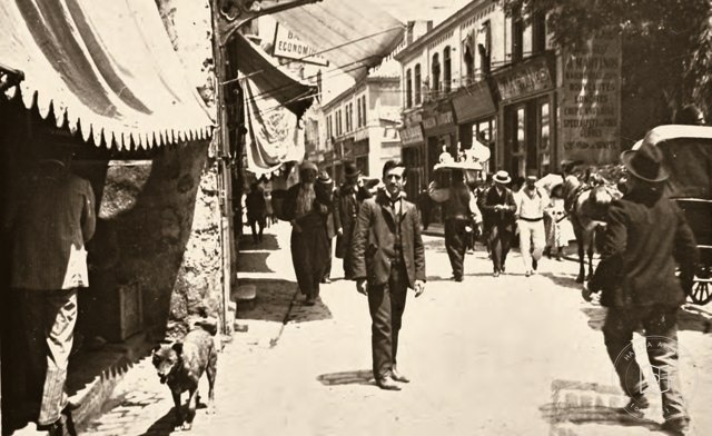
A street in Beyoğlu
41.0284, 28.9737
 Date unknown
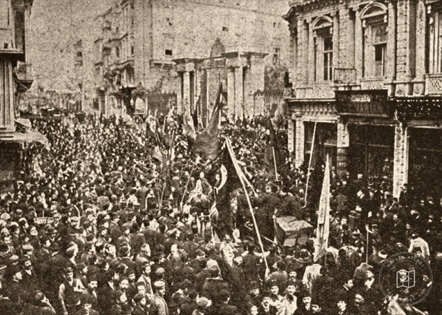
Beyoğlu ballot boxes being carried along Cadde-i Kebir
41.0284, 28.9737
 Date unknown
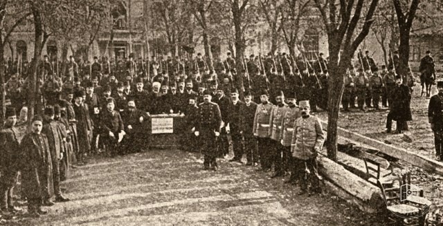
Voting and election supervision in the Mekteb-i Sultanî courtyard
41.0284, 28.9737
 Date unknown
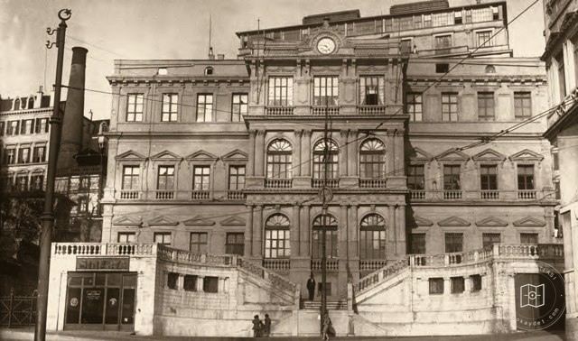
The Beyoğlu municipal office
41.0284, 28.9737
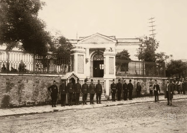 Date unknown
Taksim Police Station
41.0381, 28.9855
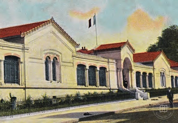 Date unknown
The French Embassy in Pera
41.0284, 28.9737
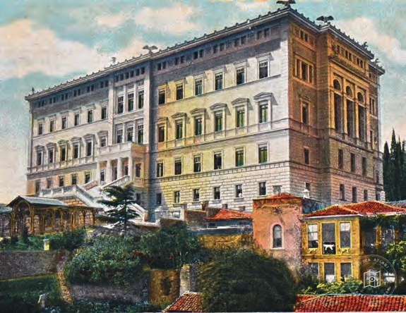 Date unknown
The German Embassy in Pera
41.0284, 28.9737
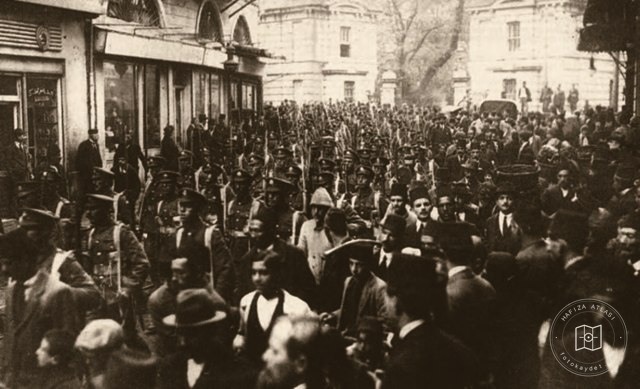 Date unknown
Beyoğlu during the occupation
41.0284, 28.9737