
COLLECTION MAP
Ortaköy
Blue markers show building locations identified in the inventory; red markers show geolocated archive records. Images without coordinates remain available in the catalogue below.All images in this collection ↗
Loading records…
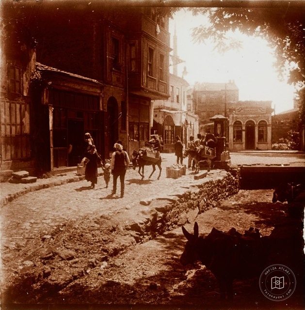 Date unknown
Ortaköy and Ortaköy Deresi · 19th Century
41.0546, 29.0282
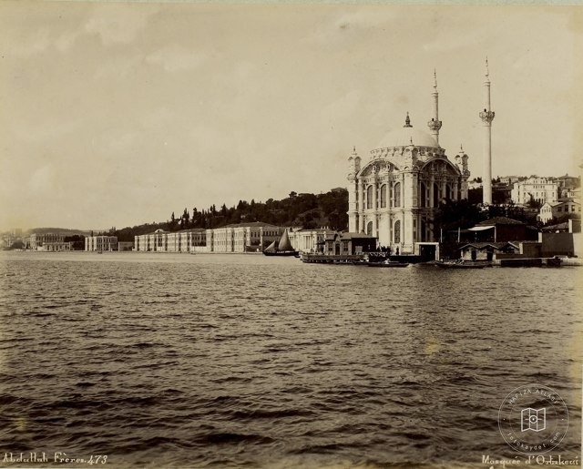 Date unknown
Ortaköy · Abdullah Fréres Photo
41.0546, 29.0282
 Date unknown
Ortaköy Mosque
41.0546, 29.0282
 Date unknown
Ortaköy
41.0546, 29.0282
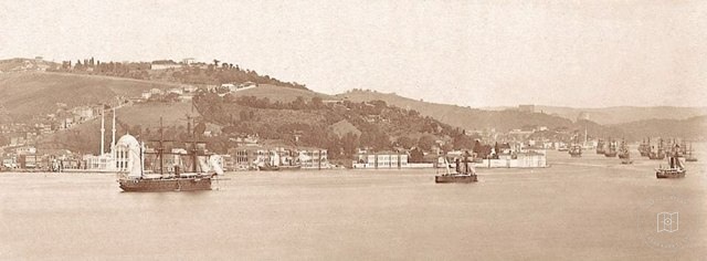 Date unknown
Ortaköy - Kuruçeşme
41.0546, 29.0282
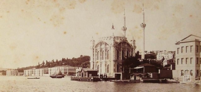 Date unknown
Ortaköy and Ortaköy Mosque
41.0546, 29.0282
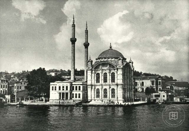 Catalogue date · 1940
Ortaköy Mosque, 1940
41.0546, 29.0282
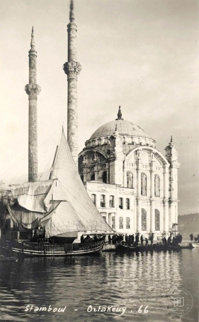 Date unknown
Ortaköy Mosque
41.0546, 29.0282
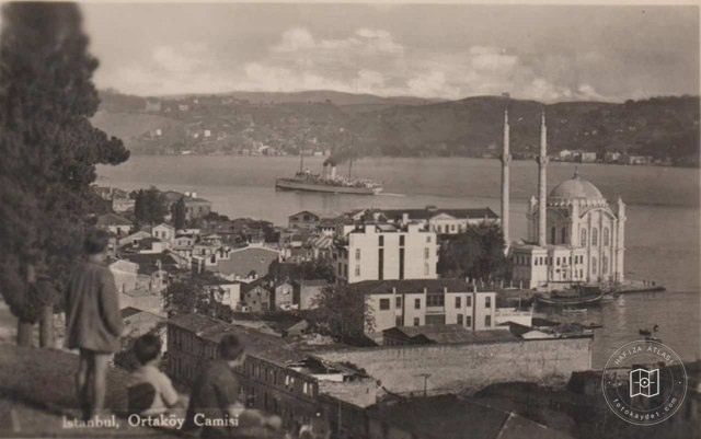 Date unknown
Ortaköy · Postcard
41.0546, 29.0282
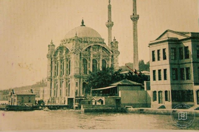 Catalogue date · 1902
Ortaköy · 1902
41.0546, 29.0282
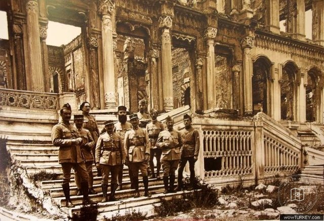 Date unknown
yanmış çırağan sarayının önünde bitli işgal ordusu kumandanları
41.0064, 28.9759
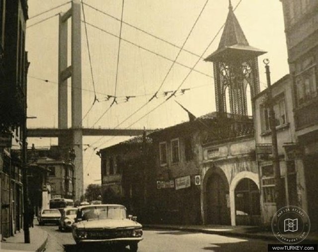 Date unknown
Ortaköy — View from the archive
41.0064, 28.9759
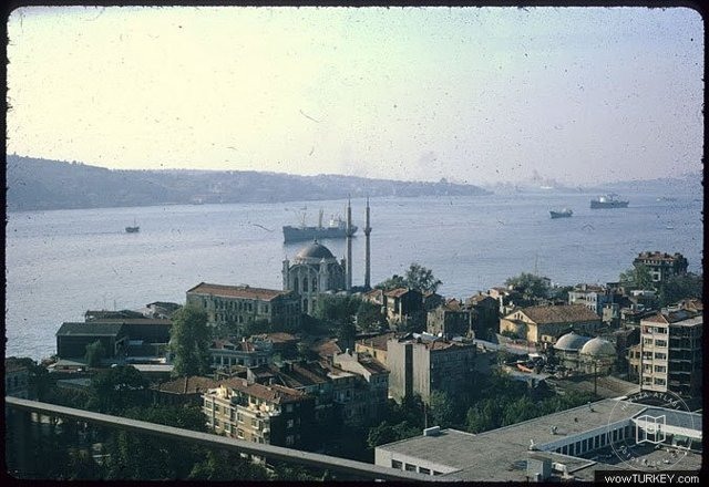 Date unknown
Ortaköy — View from the archive
41.0064, 28.9759
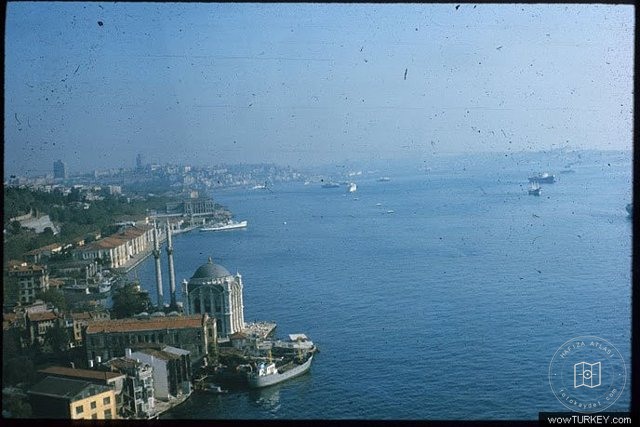 Date unknown
Ortaköy — View from the archive
41.0064, 28.9759
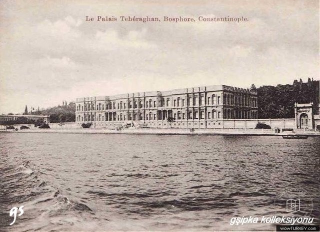 Date unknown
Le Palais Teheraghanciragan Palace
41.0064, 28.9759
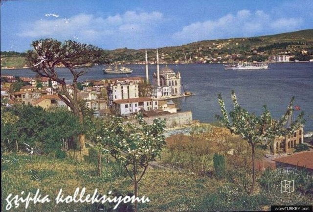 Date unknown
Istbogazicimidkoy Postcard
41.0064, 28.9759
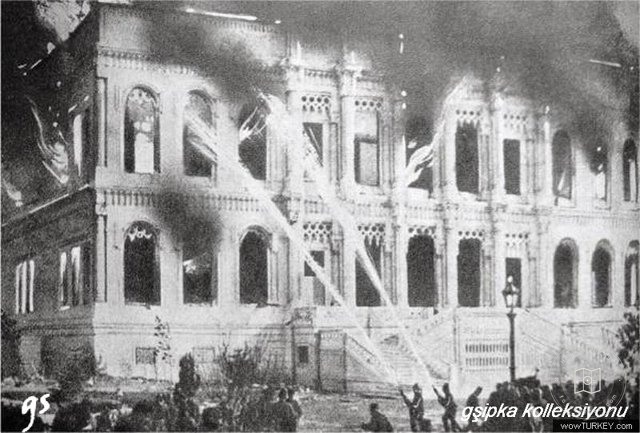 Date unknown
Çırağan Palace Yangini
41.0064, 28.9759
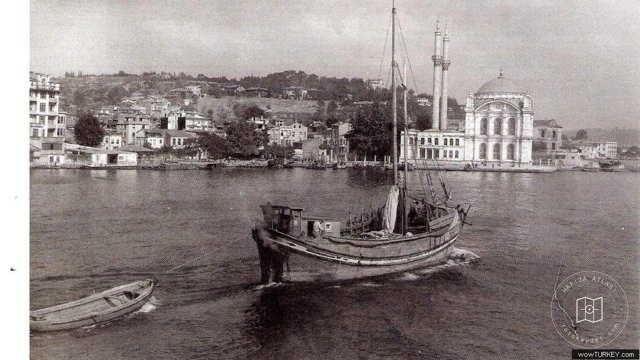 Date unknown
Ortaköy — View from the archive
41.0064, 28.9759
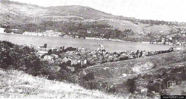 Date unknown
Ortaköy — View from the archive
41.0064, 28.9759
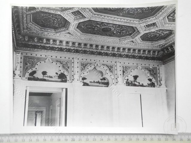 Date unknown
Ortaköy alaaddin efndi yalı
41.0064, 28.9759
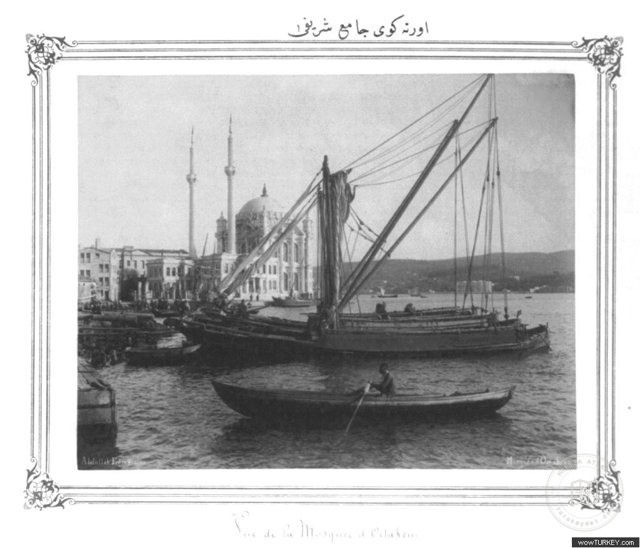 Date unknown
Ortaköy Mosque
41.0064, 28.9759
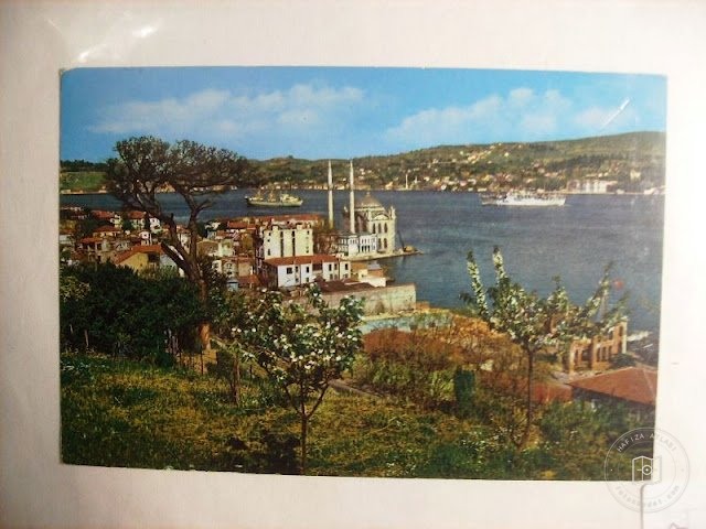 Date unknown
Ortaköy — Archive image
41.0064, 28.9759
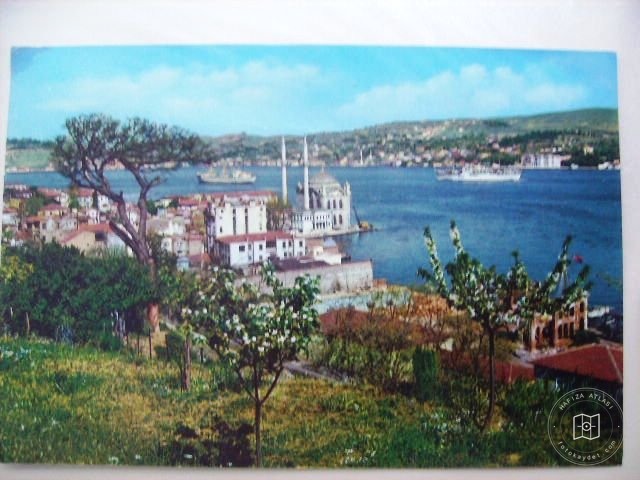 Date unknown
Ortaköy — Archive image
41.0064, 28.9759
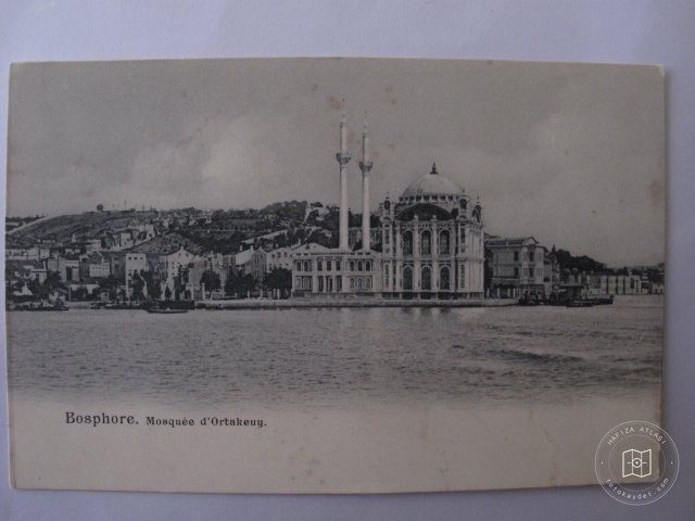 Date unknown
Ortaköy — Archive image
41.0064, 28.9759