
COLLECTION MAP
Bakırköy
Blue markers show building locations identified in the inventory; red markers show geolocated archive records. Images without coordinates remain available in the catalogue below.All images in this collection ↗
Loading records…
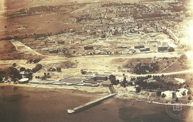 Date unknown
Ataköy Beach
40.9783, 28.8744
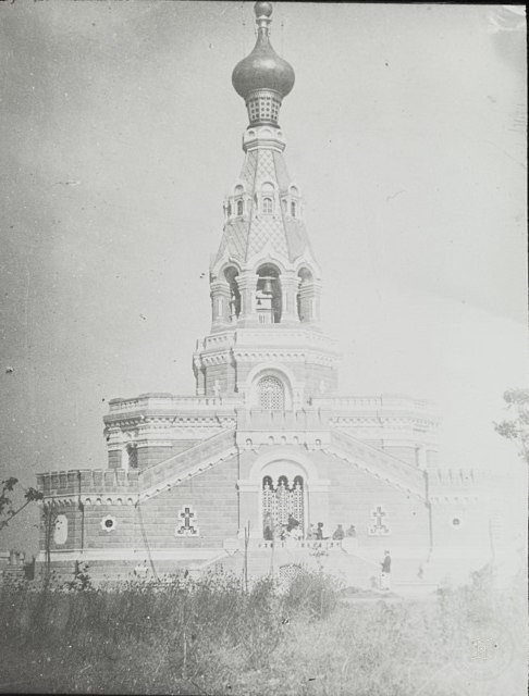 Catalogue date · 1900
7150 - Ayastefanos Russian Monument · 1900
40.9783, 28.8744
 Catalogue date · 1920
Bakırköy · 1920
40.9783, 28.8744
 Catalogue date · 1980
Ataköy · 1980
40.9783, 28.8744
 Catalogue date · 1957
Bakırköy Baruthane Beach · 1957
40.9783, 28.8744
 Date unknown
Bakırköy
40.9783, 28.8744
 Date unknown
Bakırköy
40.9783, 28.8744
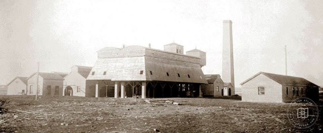 Date unknown
Acid and Ether Factories, Bakırköy
40.9783, 28.8744
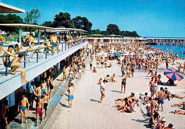 1960–1969
Ataköy Beach in 1960s
40.9783, 28.8744
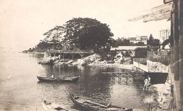 Date unknown
Bakırköy
40.9783, 28.8744
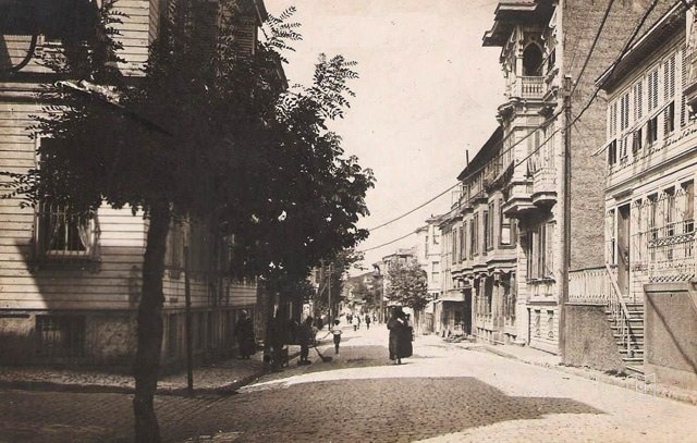 Date unknown
Bakırköy
40.9783, 28.8744
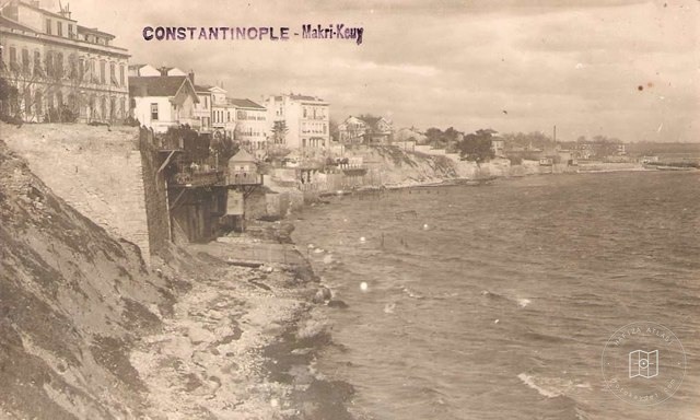 Date unknown
Bakırköy
40.9783, 28.8744
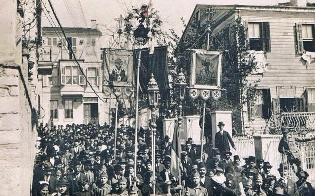 Date unknown
Bakırköy
40.9783, 28.8744
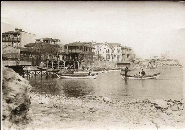 Catalogue date · 1949
Bakırköy · 1949
40.9783, 28.8744
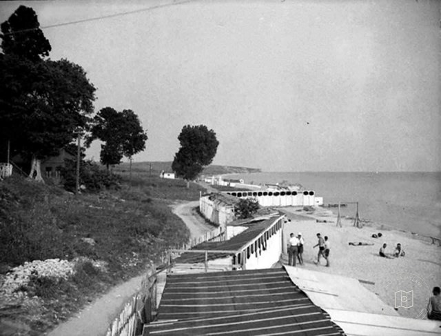 Date unknown
Florya Beach
40.9783, 28.8744
 Catalogue date · 1960
Bakırköy Strainer · 1960
40.9783, 28.8744
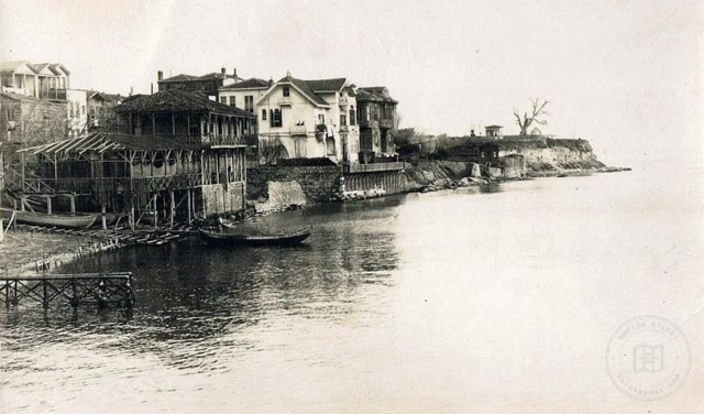 Date unknown
Bakırköy
40.9783, 28.8744
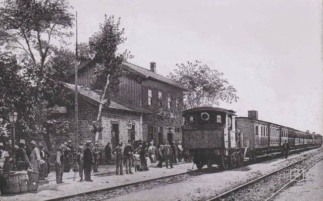 Catalogue date · 1912
Yeşilköy Railway Station · 1912
40.9783, 28.8744
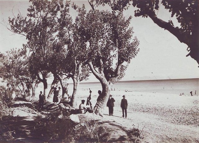 Catalogue date · 1919
Florya · 1919
40.9783, 28.8744
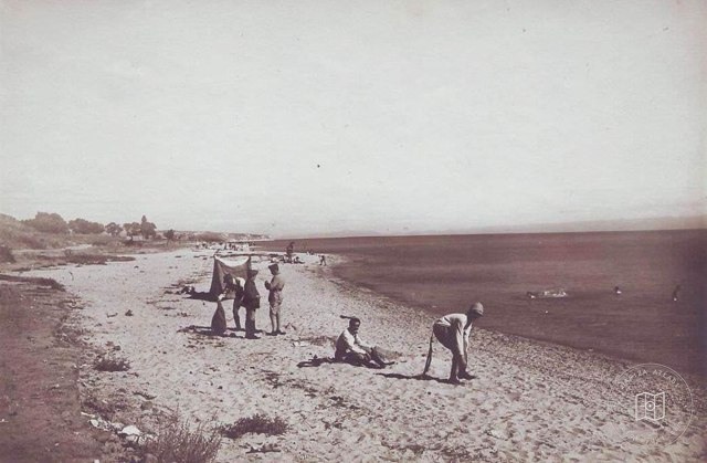 Catalogue date · 1919
Florya · 1919
40.9783, 28.8744
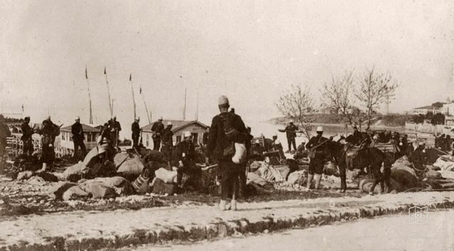 Date unknown
Occupied Time Bakırköy
40.9783, 28.8744
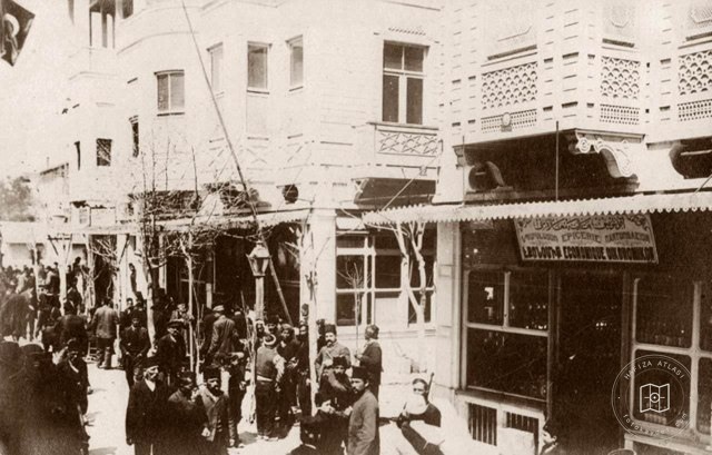 Date unknown
Occupied Time Bakırköy
40.9783, 28.8744
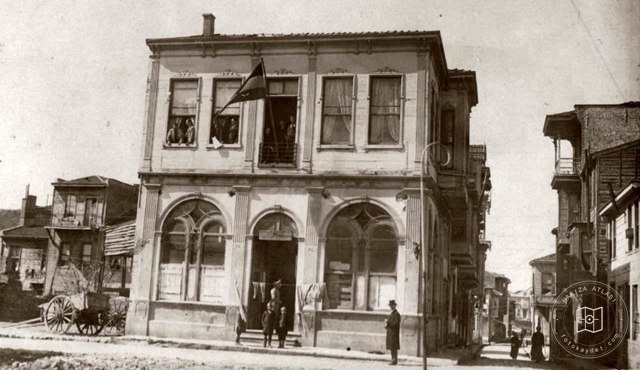 Date unknown
Occupied Time Bakırköy
40.9783, 28.8744
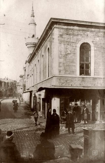 Date unknown
Occupied Time Bakırköy
40.9783, 28.8744