
Istanbul neighbourhoods
Fatih
Explore historic photographs in the Fatih collection.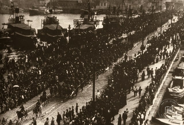 Date unknown
Occupation forces leaving Istanbul
41.0064, 28.9759
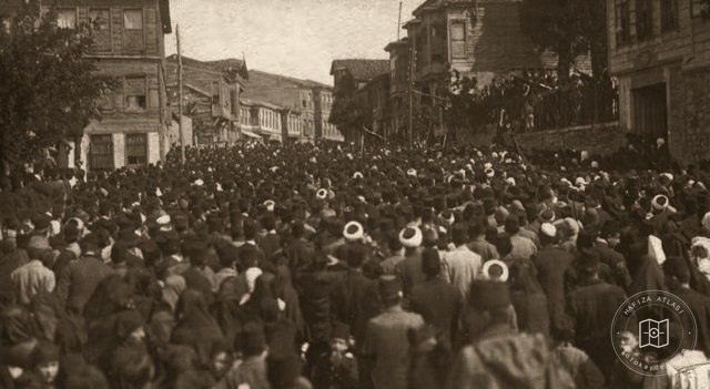 Date unknown
Rally in Doğancılar, Üsküdar, protesting the occupation of İzmir
41.0265, 29.0151
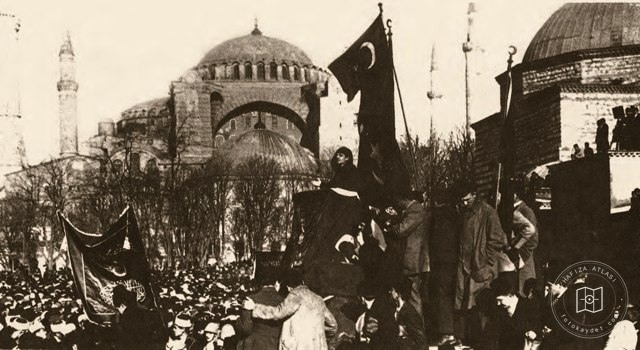 Date unknown
Sultanahmet rally protesting the occupation of İzmir
41.0041, 28.9769
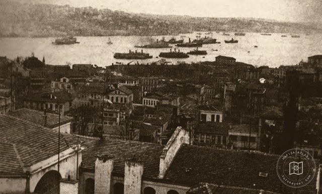 Date unknown
Occupation warships at Sarayburnu
41.0130, 28.9841
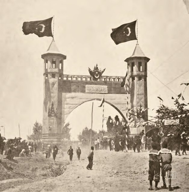 Date unknown
Triumphal arch at Hürriyet-i Ebediye Hill for the constitutional anniversary
41.0638, 28.9832
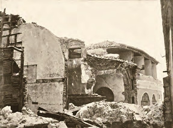 Catalogue date · 1894
Coppersmiths' shops near the Beyazıt tram line after the earthquake of 10 July 1894
41.0097, 28.9665
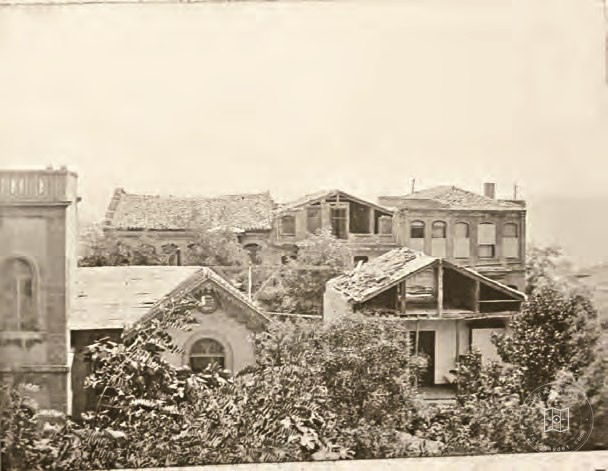 Catalogue date · 1894
The Ottoman Printing House after the earthquake of 10 July 1894
41.0064, 28.9759
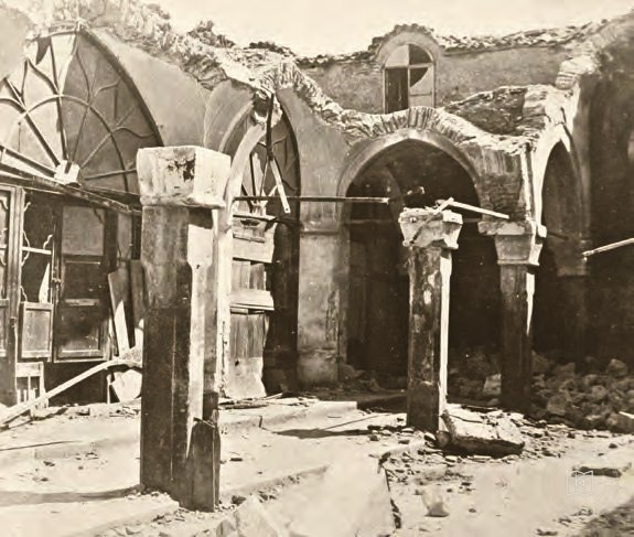 Catalogue date · 1894
Kuyumcular Street in the Grand Bazaar after the earthquake of 10 July 1894
41.0106, 28.9679
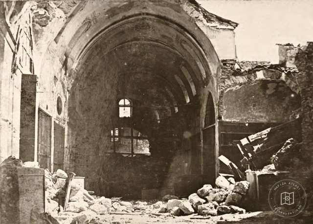 Catalogue date · 1894
Collapsed section of the Grand Bazaar after the earthquake of 10 July 1894
41.0106, 28.9679
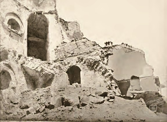 Catalogue date · 1894
A small inn damaged in the earthquake of 10 July 1894
41.0064, 28.9759
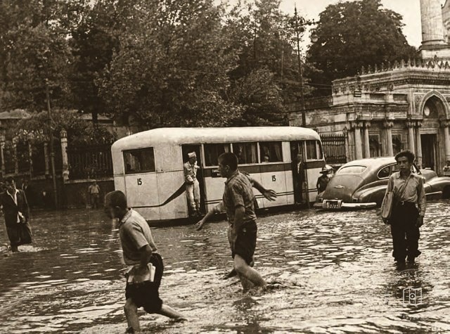 1950–1959
Flooded bus outside Pertevniyal Valide Sultan Mosque in Aksaray in the 1950s
41.0100, 28.9531
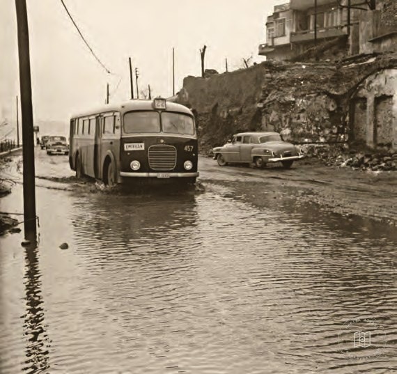 1950–1959
Flooded roads between Karaköy and Tophane in the 1950s
41.0273, 28.9808
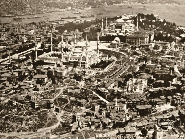 Date unknown
Sultanahmet and its surroundings after an early twentieth-century fire
41.0041, 28.9769
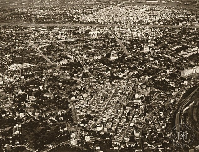 Date unknown
Zeytinburnu, Kocamustafapaşa, Topkapı and Fatih
41.0064, 28.9759
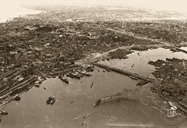 Date unknown
From Eminönü toward Fatih
41.0193, 28.9479
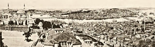 Date unknown
Panoramas of Istanbul from Beyazıt and Galata
41.0064, 28.9759
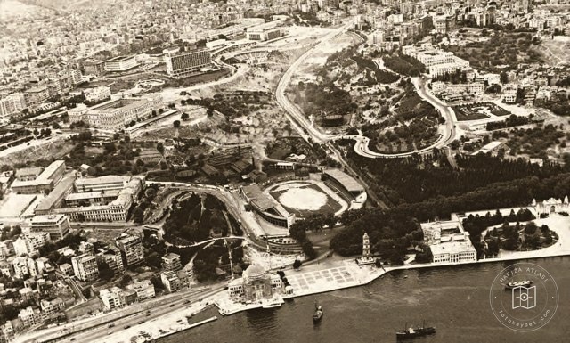 Date unknown
Dolmabahçe and Taksim
41.0428, 29.0075
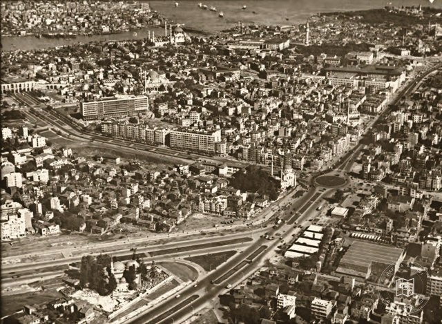 Date unknown
Aksaray, Laleli, Şehzadebaşı, Süleymaniye and Beyazıt
41.0193, 28.9479
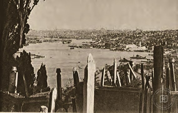 Date unknown
The Golden Horn and Istanbul from the hills of Eyüp
41.0412, 28.9458
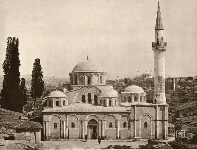 Date unknown
Kariye Mosque
41.0311, 28.9392
 Date unknown
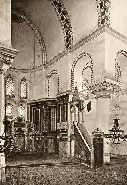
Interior of Zeyrek Mosque
41.0197, 28.9572
 Date unknown
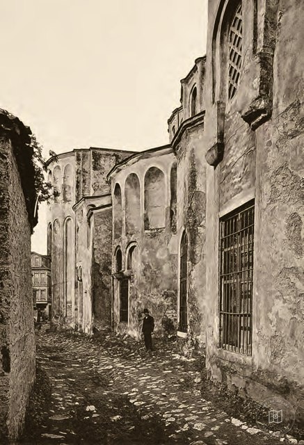
Exterior of Zeyrek Mosque
41.0197, 28.9572
 Date unknown
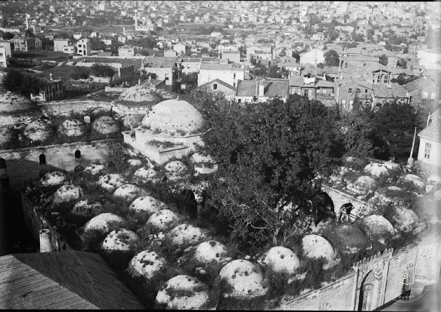
Haseki Hürrem Sultan Medresesi and Darüşshifası · Albert Gabriel Photo
41.0193, 28.9479
 1940–1949
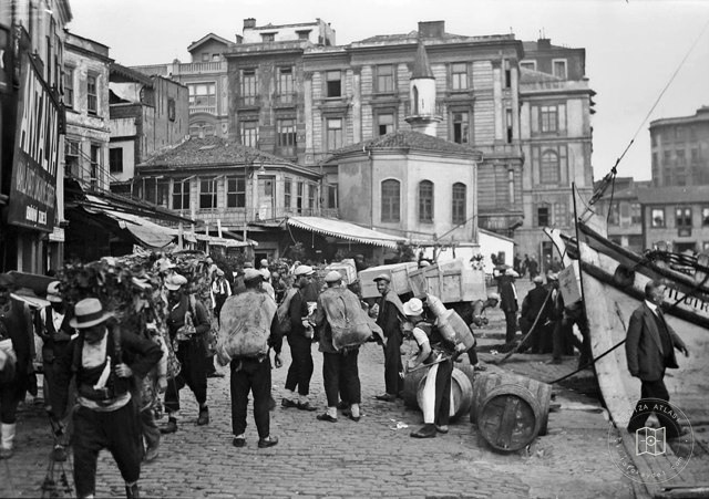
Fish Market Scaffolding, Eminönü · 1940s
41.0182, 28.9700