
Istanbul neighbourhoods
Beyoğlu
Explore historic photographs in the Beyoğlu collection.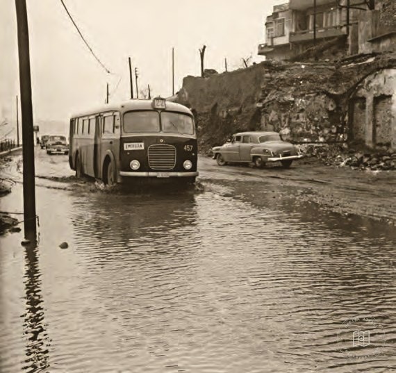 1950–1959
Flooded roads between Karaköy and Tophane in the 1950s
41.0273, 28.9808
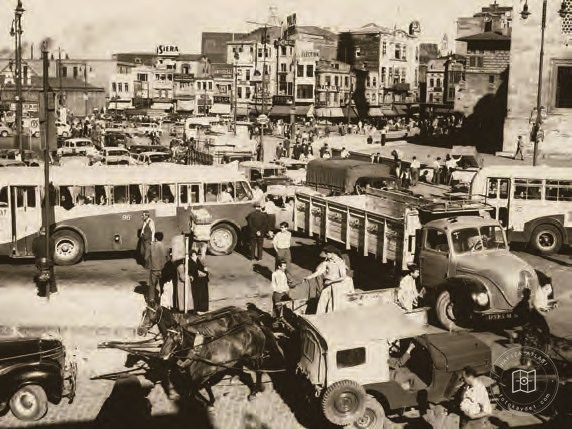 Date unknown
Outside Yeni Mosque
41.0169, 28.9721
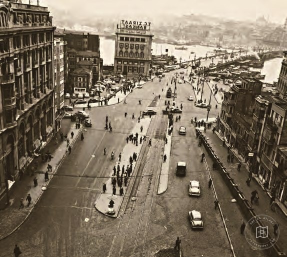 Date unknown
Karaköy
41.0229, 28.9740
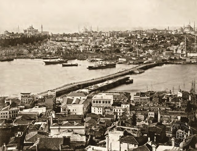 Date unknown
Galata Bridge and Eminönü
41.0200, 28.9731
 Date unknown
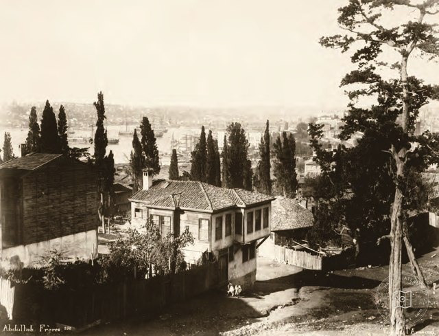
Kasımpaşa and the Little Cemetery from Tepebaşı
41.0284, 28.9737
 Date unknown
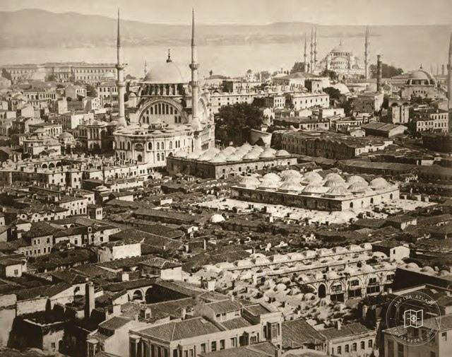
From the Grand Bazaar toward Sultanahmet
41.0104, 28.9702
 Date unknown
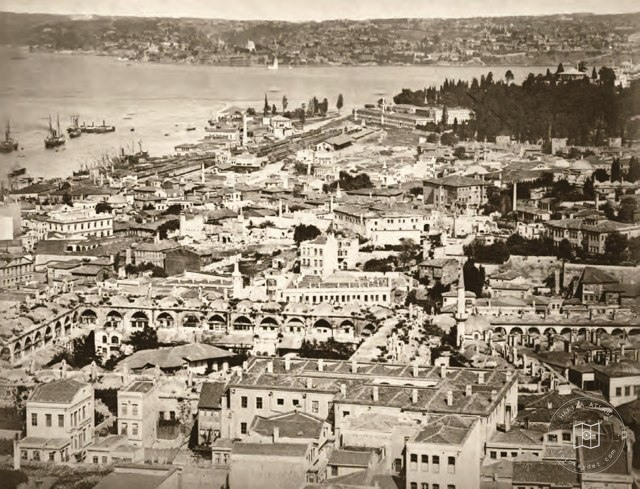
Eminönü with Üsküdar across the water
41.0182, 28.9700
 Date unknown
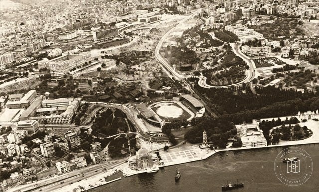
Dolmabahçe and Taksim
41.0428, 29.0075
 Date unknown
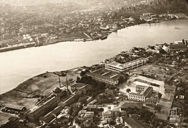
The Golden Horn, Eyüp and Sütlüce
41.0412, 28.9458
 Date unknown
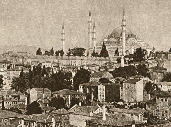
Süleymaniye in the early twentieth century
41.0150, 28.9655
 Catalogue date · 1915
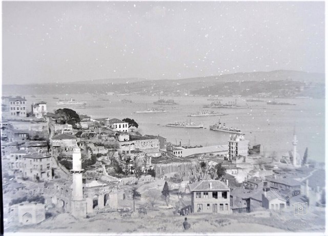
1915Pürtelaş Efendi Hasan Mosque After Yangini
41.0284, 28.9737
 Date unknown
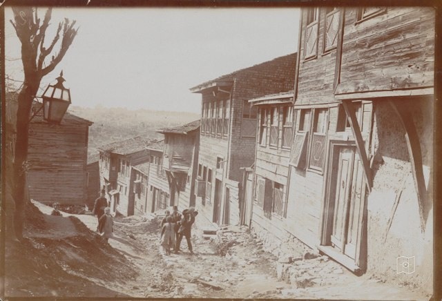
Halıcıoğlu, near Mehmet Hüsrev Pasha Fountain, Turşucu Fountain Street view
41.0284, 28.9737
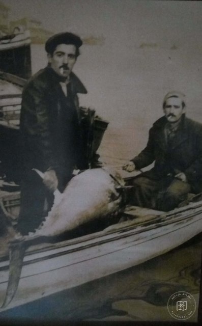 1950–1959
In the 1950s, Kasımpaşa climbs
41.0284, 28.9737
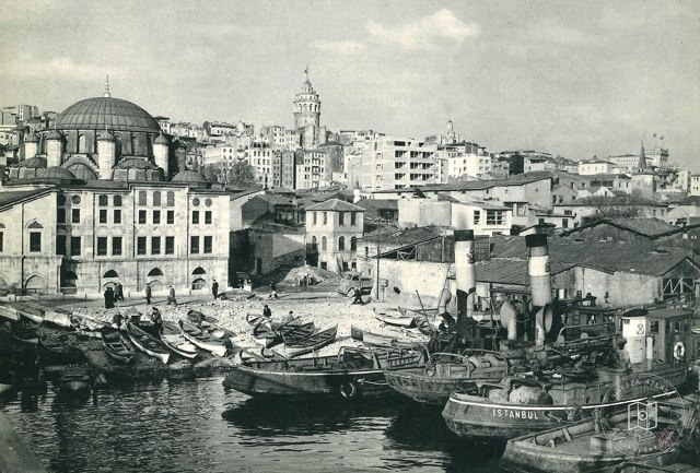 Catalogue date · 1955
Azapkapı
41.0284, 28.9737
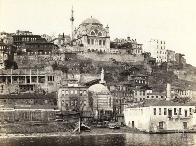 1920–1929
Fındıklı Coast on 1920s
41.0284, 28.9737
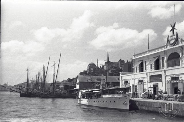 Catalogue date · 1937
Kabataş · Sir David Russell Photo · 1937
41.0284, 28.9737
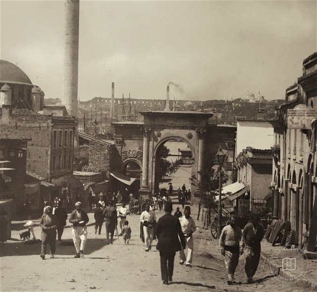 Date unknown
Azapkapı
41.0284, 28.9737
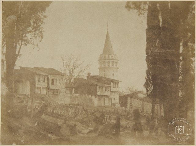 1852
Galata Tower and Wooden Homes · 1852 · Ernest De Caranza Photo
41.0256, 28.9742
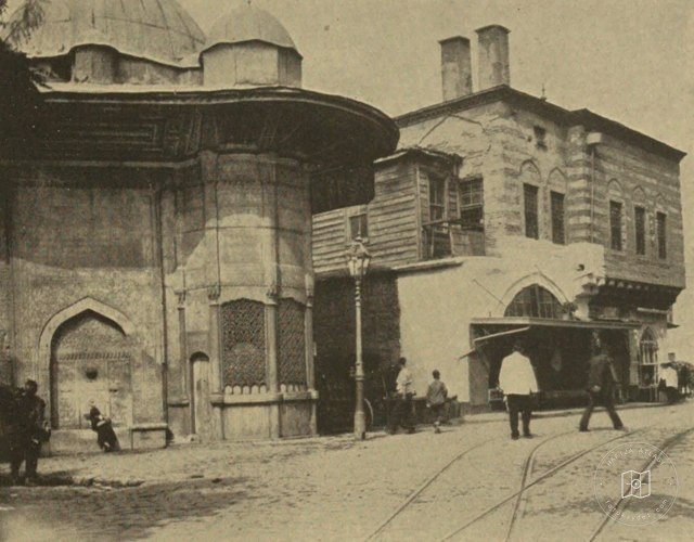 Date unknown
Azapkapı Saliha Sultan Sebili and Sıbyan Metebi
41.0284, 28.9737
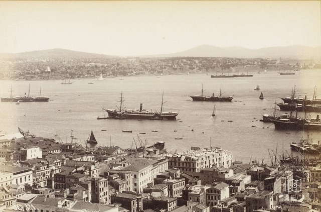 Date unknown
Galata Tower from Karaköy and Marmara · Sébah and Joaillier Photo
41.0256, 28.9742
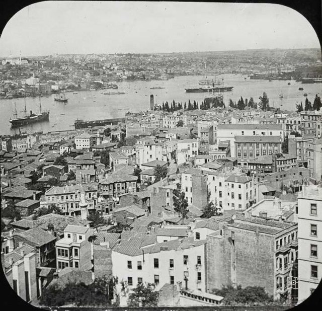 Catalogue date · 1900–1909
Galata Tower from Şişhane and Golden Horn · Levy Meat Fils Photo · 1900 Cubicle
41.0256, 28.9742
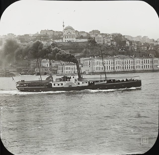 1900–1909
Fındıklı Outdoors and Cihangir Mosque · Levy Meat Fils Photo · 1900s
41.0284, 28.9737
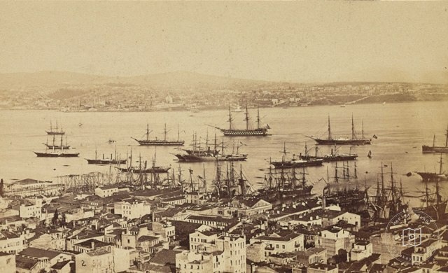 Catalogue date · 1870
Tophane to Üsküdar · Pascal Sébah Photo · 1870
41.0273, 28.9808
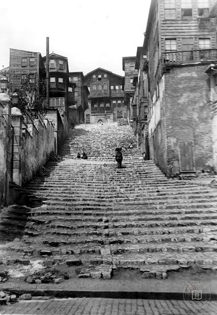 1910–1919
Enli Yakuş · 1910s
41.0284, 28.9737